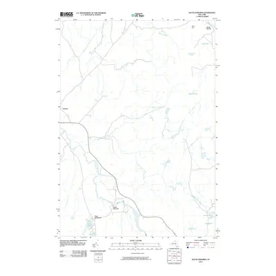
2010 Map of South Edwards
USGS Topo · Published 2010About this map
The Oswegatchie River snakes through the southern reaches of this landscape, defining the character of small hamlets like South Edwards and the nearby Pond Settlement. This part of Saint Lawrence County is defined by a dense network of waterways and glacial depressions, where features like Smith Pond, Jones Pond, and Carr Pond sit in close proximity to the river’s drainage. To the north, the terrain transitions into a more upland character marked by Dana Hill and the settlement of South Russell.
Find a feature on this map
24 named features on this map. Tap any name to fly to it.
Don’t see what you’re looking for? This feature index may not catch every label — zoom into the map to look around manually.
Map Details
Editions of this 2010 South Edwards Map
This is the sole edition of this map. No revisions or reprints were ever made.
Other maps of this area

1913 · Lake Bonaparte
USGS Topo · 1:62,500

1915 · Gouverneur
USGS Topo · 1:62,500

1915 · Russell
USGS Topo · 1:62,500

1916 · Lake Bonaparte
USGS Topo · 1:62,500

1916 · Oswegatchie
USGS Topo · 1:62,500

1918 · Russell
USGS Topo · 1:62,500

1918 · Oswegatchie
USGS Topo · 1:62,500

1937 · Gouverneur
USGS Topo · 1:62,500

1948 · Ogdensburg
USGS Topo · 1:250,000

1951 · Ogdensburg
USGS Topo · 1:250,000