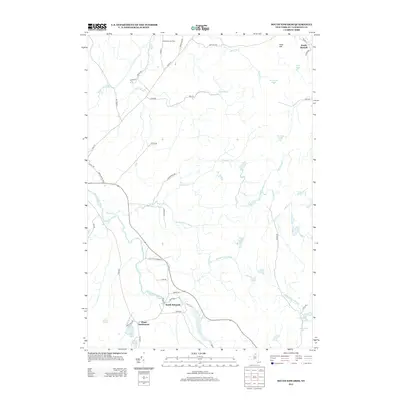
2013 Map of South Edwards
USGS Topo · Published 2013About this map
South Edwards and South Russell anchor this Saint Lawrence County landscape, where the Oswegatchie River winds through the southwestern terrain. The 2013 survey illustrates a rural geography defined by small-scale agrarian footprints like the Gotham Family Farm and the distinctively named Pond Settlement near the southern boundary. The area is heavily intersected by a network of waterways, including the winding Paddy Brown Brook, Bullock Cr, and Stammer Cr, which feed into various ponds and lakes such as Warden Pond and Stockwell Pond. Local travel is facilitated by a grid of named roads like Stammerville Rd and Givens Rd, reflecting the persistent settlement patterns of this New York region. Prominent elevations like Dana Hill provide a sense of the undulating physical relief that characterizes this pocket of the North Country.
Find a feature on this map
51 named features on this map. Tap any name to fly to it.
Don’t see what you’re looking for? This feature index may not catch every label — zoom into the map to look around manually.
Map Details
Editions of this 2013 South Edwards Map
This is the sole edition of this map. No revisions or reprints were ever made.
Other maps of this area

1913 · Lake Bonaparte
USGS Topo · 1:62,500

1915 · Gouverneur
USGS Topo · 1:62,500

1915 · Russell
USGS Topo · 1:62,500

1916 · Lake Bonaparte
USGS Topo · 1:62,500

1916 · Oswegatchie
USGS Topo · 1:62,500

1918 · Russell
USGS Topo · 1:62,500

1918 · Oswegatchie
USGS Topo · 1:62,500

1937 · Gouverneur
USGS Topo · 1:62,500

1948 · Ogdensburg
USGS Topo · 1:250,000

1951 · Ogdensburg
USGS Topo · 1:250,000