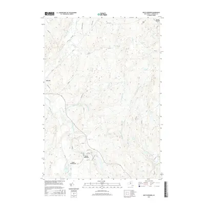
2016 Map of South Edwards
USGS Topo · Published 2016About this map
The Oswegatchie River carves a winding path through this portion of Saint Lawrence County, where the northern boundary of the Adirondack Park meets established rural hamlets. The landscape is defined by its complex hydrology, featuring numerous named water bodies like Hall Lake, Carr Pond, and Stockwell Pond interspersed with tributaries such as Paddy Brown Brook and Stammer Creek. These waterways once drove the local economy and continue to shape the placement of small communities.
Find a feature on this map
48 named features on this map. Tap any name to fly to it.
Don’t see what you’re looking for? This feature index may not catch every label — zoom into the map to look around manually.
Map Details
Editions of this 2016 South Edwards Map
This is the sole edition of this map. No revisions or reprints were ever made.
Other maps of this area

1913 · Lake Bonaparte
USGS Topo · 1:62,500

1915 · Gouverneur
USGS Topo · 1:62,500

1915 · Russell
USGS Topo · 1:62,500

1916 · Lake Bonaparte
USGS Topo · 1:62,500

1916 · Oswegatchie
USGS Topo · 1:62,500

1918 · Russell
USGS Topo · 1:62,500

1918 · Oswegatchie
USGS Topo · 1:62,500

1937 · Gouverneur
USGS Topo · 1:62,500

1948 · Ogdensburg
USGS Topo · 1:250,000

1951 · Ogdensburg
USGS Topo · 1:250,000