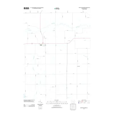
2013 Map of South English
USGS Topo · Published 2013About this map
South English serves as the primary hub in this Keokuk County landscape, where the town plat is defined by its street grid including Ives St, Davis St, and Water St. The surrounding countryside is dominated by a complex drainage network characterized by the winding S English River to the north and numerous tributaries like Smith Cr and Troublesome Cr to the south. This area demonstrates the traditional Midwestern section-line road system, with rural routes such as 280th Ave and 150th St providing access to the fertile land between waterways. Further south, the map identifies the settlement of Creswell and the recreation-focused Lake Belva Deer, illustrating how the modern landscape balances agricultural utility with natural water management and leisure spaces.
Find a feature on this map
48 named features on this map. Tap any name to fly to it.
Don’t see what you’re looking for? This feature index may not catch every label — zoom into the map to look around manually.
Map Details
Editions of this 2013 South English Map
This is the sole edition of this map. No revisions or reprints were ever made.
Other maps of this area

1891 · Oxford
USGS Topo · 1:62,500

1894 · Oxford
USGS Topo · 1:62,500

1903 · Fairfax
USGS Topo · 1:125,000

1954 · Des Moines
USGS Topo · 1:250,000

1956 · Des Moines
USGS Topo · 1:250,000

1957 · Des Moines
USGS Topo · 1:250,000

1958 · Davenport
USGS Topo · 1:250,000

1961 · Davenport
USGS Topo · 1:250,000

1962 · Davenport
USGS Topo · 1:250,000

1965 · Keswick
USGS Topo · 1:24,000