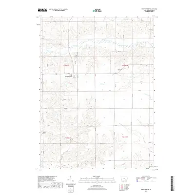
2018 Map of South English
USGS Topo · Published 2018About this map
South English serves as the central hub of this Keokuk County landscape, situated along the undulating terrain north of Troublesome Cr. The town plan is defined by a grid of streets including Main St, Ives St, and Miller St, reflecting a classic Iowan agricultural settlement pattern. The surrounding countryside is heavily marked by its creek systems and the meandering South English River to the north, which together dictate the placement of roads and farmsteads. Local history and genealogy are well-represented by several rural burial sites, including the Church of the Brethren Cem and Vincent Cem, alongside watercourses like Smith Cr and the W Fork Crooked Cr. The survey illustrates a well-developed network of range and township lines that organize the rural properties between German Cr and Clear Cr.
Find a feature on this map
45 named features on this map. Tap any name to fly to it.
Don’t see what you’re looking for? This feature index may not catch every label — zoom into the map to look around manually.
Map Details
Editions of this 2018 South English Map
This is the sole edition of this map. No revisions or reprints were ever made.
Other maps of this area

1891 · Oxford
USGS Topo · 1:62,500

1894 · Oxford
USGS Topo · 1:62,500

1903 · Fairfax
USGS Topo · 1:125,000

1954 · Des Moines
USGS Topo · 1:250,000

1956 · Des Moines
USGS Topo · 1:250,000

1957 · Des Moines
USGS Topo · 1:250,000

1958 · Davenport
USGS Topo · 1:250,000

1961 · Davenport
USGS Topo · 1:250,000

1962 · Davenport
USGS Topo · 1:250,000

1965 · Keswick
USGS Topo · 1:24,000