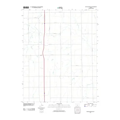
2010 Map of South Haven NE
USGS Topo · Published 2010About this map
The agricultural landscape of Sumner County is defined by a grid of rural roads and a network of meandering waterways that cut through the Kansas prairie. Slate Creek and Dear Creek converge in the northern portion of the region, while Snyder Creek and Meridian Creek traverse the western sections. This map captures the precise intersection of natural drainage and human organization, where section-line roads like S Meridian Rd and S Broadway Rd provide the primary framework for local travel.
Find a feature on this map
24 named features on this map. Tap any name to fly to it.
Don’t see what you’re looking for? This feature index may not catch every label — zoom into the map to look around manually.
Map Details
Editions of this 2010 South Haven NE Map
This is the sole edition of this map. No revisions or reprints were ever made.
Other maps of this area

1890 · Wellington
USGS Topo · 1:125,000

1955 · Wichita
USGS Topo · 1:250,000

1958 · Wichita
USGS Topo · 1:250,000

1964 · South Haven NE
USGS Topo · 1:24,000

1964 · Dalton
USGS Topo · 1:24,000

1965 · Portland
USGS Topo · 1:24,000

1965 · Adamsville
USGS Topo · 1:24,000

1965 · South Haven
USGS Topo · 1:24,000

1965 · Geuda Springs
USGS Topo · 1:24,000

1965 · Rome
USGS Topo · 1:24,000