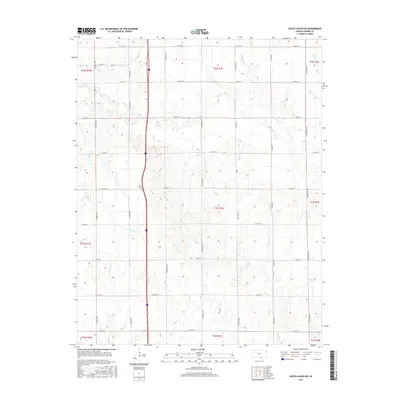
2015 Map of South Haven NE
USGS Topo · Published 2015About this map
Jordan Cem stands as a central landmark in this portion of Sumner County, positioned within a landscape defined by an intricate network of waterways. The terrain is etched by the meandering paths of Slate Cr and Antelope Cr to the north, while Badger Cr and Bitter Cr drain the southern reaches. This 2015 survey reveals a strictly organized rural grid system, where long-established section lines like S Broadway Rd and S Hydraulic Rd provide the primary framework for movement through the agricultural heartland. The concentration of family-named roads and small drainage basins such as Winser Cr and Meridian Cr illustrates the long-term division of the prairie into manageable parcels, maintaining a settlement pattern that has changed little in its fundamental geometry since the original land surveys.
Find a feature on this map
38 named features on this map. Tap any name to fly to it.
Don’t see what you’re looking for? This feature index may not catch every label — zoom into the map to look around manually.
Map Details
Editions of this 2015 South Haven NE Map
This is the sole edition of this map. No revisions or reprints were ever made.
Other maps of this area

1890 · Wellington
USGS Topo · 1:125,000

1955 · Wichita
USGS Topo · 1:250,000

1958 · Wichita
USGS Topo · 1:250,000

1964 · South Haven NE
USGS Topo · 1:24,000

1964 · Dalton
USGS Topo · 1:24,000

1965 · Portland
USGS Topo · 1:24,000

1965 · Adamsville
USGS Topo · 1:24,000

1965 · South Haven
USGS Topo · 1:24,000

1965 · Geuda Springs
USGS Topo · 1:24,000

1965 · Rome
USGS Topo · 1:24,000