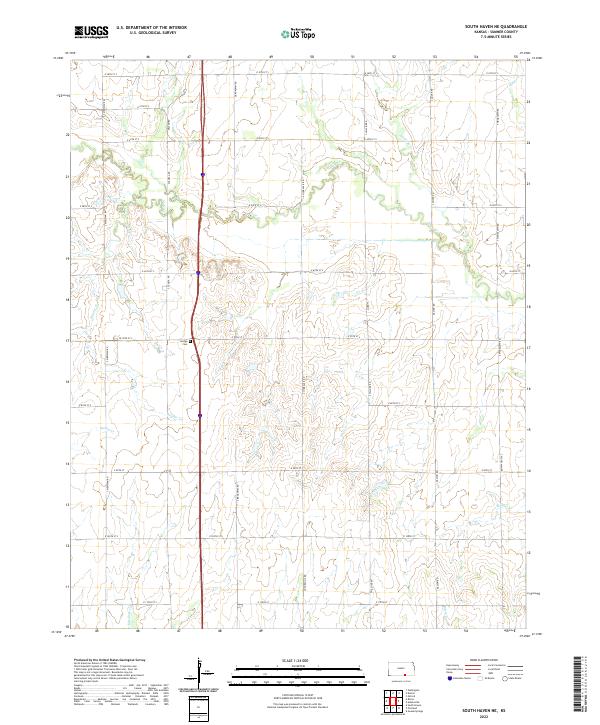
2022 Map of South Haven NE
USGS Topo · Published 2022About this map
Slate Cr and its many tributaries, including Antelope Cr and Snuder Cr, wind through this section of Sumner County, defining a landscape largely shaped by its drainage patterns. The area is characterized by a precise grid of rural roads, such as S Meridian Rd and S Broadway Rd, which facilitate access to the agricultural plots that dominate the terrain. This organization reflects the late-century rural development of Kansas, where land use is dictated by the natural flow of creeks like Snyder Cr and Spring Cr. For those researching local heritage, the centrally located Jordan Cem stands as a significant point of interest, providing a genealogical anchor amidst the surrounding farmstead plots and township lines.
Find a feature on this map
37 named features on this map. Tap any name to fly to it.
Don’t see what you’re looking for? This feature index may not catch every label — zoom into the map to look around manually.
Map Details
Editions of this 2022 South Haven NE Map
This is the sole edition of this map. No revisions or reprints were ever made.
Other maps of this area

1890 · Wellington
USGS Topo · 1:125,000

1955 · Wichita
USGS Topo · 1:250,000

1958 · Wichita
USGS Topo · 1:250,000

1964 · South Haven NE
USGS Topo · 1:24,000

1964 · Dalton
USGS Topo · 1:24,000

1965 · Portland
USGS Topo · 1:24,000

1965 · Adamsville
USGS Topo · 1:24,000

1965 · South Haven
USGS Topo · 1:24,000

1965 · Geuda Springs
USGS Topo · 1:24,000

1965 · Rome
USGS Topo · 1:24,000