Loading...
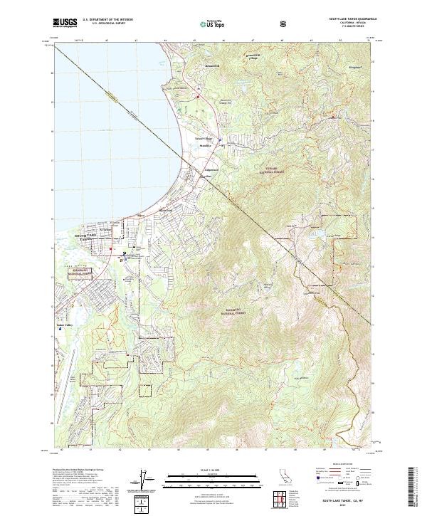
Loading map...1992 Map of South Lake Tahoe
USGS Topo · Published 1994About this map
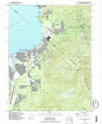
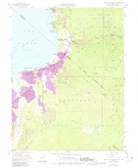
Stateline sits at the heart of this trans-border landscape, where the intense development of South Lake Tahoe meets the shoreline of Lake Tahoe. The map captures the dense residential and commercial grids of Bijou, Al Tahoe, and Tahoe Valley, supported by essential infrastructure like the Lake Tahoe Airport and Barton Memorial Hospital. Beyond the urban core, the terrain transitions sharply into the Eldorado National Forest and Toiyabe National Forest.
Find a feature on this map
61 named features on this map. Tap any name to fly to it.
Don’t see what you’re looking for? This feature index may not catch every label — zoom into the map to look around manually.
Map Details
Date Portrayed1992
Date Published1994
PublisherU.S. Geological Survey
Map TypeTopographic
Scale1:24,000
Physical Dimensions22 x 26.7 inches
Editions of this 1992 South Lake Tahoe Map
This is the sole edition of this map. No revisions or reprints were ever made.
Historical Maps of South Lake Tahoe Through Time
7 maps found
Featured Locations
Source Details
SourceU.S. Geological Survey
CopyrightPublic Domain