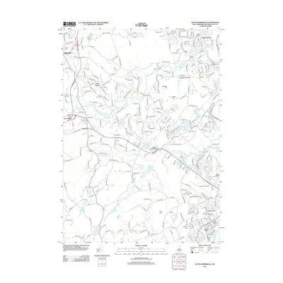
2012 Map of South Merrimack
USGS Topo · Published 2012About this map
The Souhegan River and Pennichuck Brook define the hydrologic character of this Hillsborough County landscape, which by 2012 shows the significant suburban and industrial expansion surrounding Nashua and Merrimack. Clusters of residential development like Broad Acres and Lincoln Park sit alongside major infrastructure, including the Boire Field Airport and Daniel Webster College.
Find a feature on this map
284 named features on this map. Tap any name to fly to it.
Don’t see what you’re looking for? This feature index may not catch every label — zoom into the map to look around manually.
Map Details
Editions of this 2012 South Merrimack Map
This is the sole edition of this map. No revisions or reprints were ever made.
Other maps of this area

1886 · Lowell
USGS Topo · 1:62,500

1893 · Lowell
USGS Topo · 1:62,500

1893 · Groton
USGS Topo · 1:62,500

1905 · Manchester
USGS Topo · 1:62,500

1906 · Milford
USGS Topo · 1:62,500

1918 · Lowell
USGS Topo · 1:62,500

1921 · Lowell
USGS Topo · 1:62,500

1931 · Lowell
USGS Topo · 1:48,000

1931 · Groton
USGS Topo · 1:48,000

1935 · Groton
USGS Topo · 1:62,500