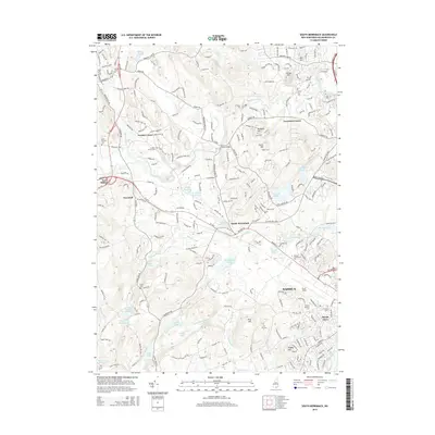
2015 Map of South Merrimack
USGS Topo · Published 2015About this map
The Souhegan River and Nashua River define the local topography of this Hillsborough County landscape, where the suburban growth of Nashua meets older villages like South Merrimack and Ponemah. Local history is anchored by several burial grounds, including Turkey Hill Cem and the Lithuanian Cem near Broad Acres. Educational and aviation hubs are prominent, with Boire Field and Nashua Community Coll serving the region. The map also traces established crossroads like Cricket Corner and Lawrence Corner, while recreational and natural features such as Baboosic Lake and the Blodgett Hill Trail on Horse Hill highlight the area's transition from historic mill-town outskirts to modern residential communities.
Find a feature on this map
59 named features on this map. Tap any name to fly to it.
Don’t see what you’re looking for? This feature index may not catch every label — zoom into the map to look around manually.
Map Details
Editions of this 2015 South Merrimack Map
This is the sole edition of this map. No revisions or reprints were ever made.
Other maps of this area

1886 · Lowell
USGS Topo · 1:62,500

1893 · Lowell
USGS Topo · 1:62,500

1893 · Groton
USGS Topo · 1:62,500

1905 · Manchester
USGS Topo · 1:62,500

1906 · Milford
USGS Topo · 1:62,500

1918 · Lowell
USGS Topo · 1:62,500

1921 · Lowell
USGS Topo · 1:62,500

1931 · Lowell
USGS Topo · 1:48,000

1931 · Groton
USGS Topo · 1:48,000

1935 · Groton
USGS Topo · 1:62,500