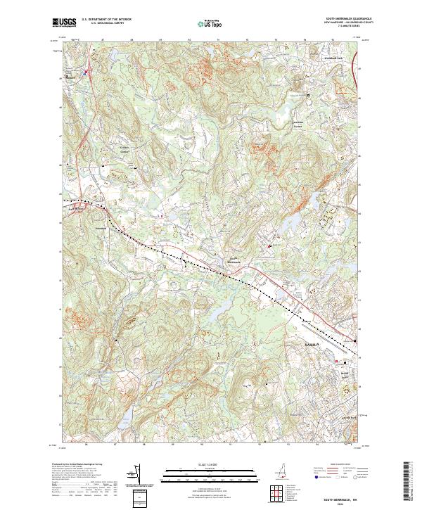
2024 Map of South Merrimack
USGS Topo · Published 2024About this map
The Souhegan River and Pennichuck Brook define this modern landscape of southern New Hampshire, where historic hamlets like Ponemah and Cricket Corner sit adjacent to the expanding footprint of Nashua. The area is notably dense with burial grounds, ranging from the central Amherst Town Hall Burying Ground to the Turkey Hill Graveyard, offering significant data for genealogical research.
Find a feature on this map
54 named features on this map. Tap any name to fly to it.
Don’t see what you’re looking for? This feature index may not catch every label — zoom into the map to look around manually.
Map Details
Editions of this 2024 South Merrimack Map
This is the sole edition of this map. No revisions or reprints were ever made.
Other maps of this area

1886 · Lowell
USGS Topo · 1:62,500

1893 · Lowell
USGS Topo · 1:62,500

1893 · Groton
USGS Topo · 1:62,500

1905 · Manchester
USGS Topo · 1:62,500

1906 · Milford
USGS Topo · 1:62,500

1918 · Lowell
USGS Topo · 1:62,500

1921 · Lowell
USGS Topo · 1:62,500

1931 · Lowell
USGS Topo · 1:48,000

1931 · Groton
USGS Topo · 1:48,000

1935 · Groton
USGS Topo · 1:62,500