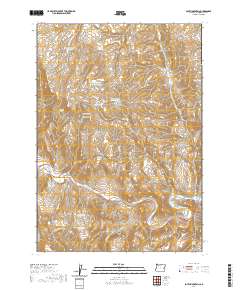
2020 Map of South Mountain
USGS Topo · Published 2020About this map
South Mtn anchors this high-desert landscape in Malheur County, where water management is the primary driver of human geography. The map documents a sophisticated network of upland water storage including South Mountain Reservoir, Alfred Reservoir, and Hog Cr Reservoir Number Two, which serve the arid range land. To the south, the Malheur River cuts through the terrain, joined by seasonal drainages like Simmons Gulch and Miller Cr. The prevalence of named springs, such as Coyote Spring, Perry Spring, and the two Boney Spring locations, illustrates the critical importance of reliable water sources for local ranching and land use in this part of eastern Oregon. Access is maintained through remote routes like Shelley Rd and Antelope Spring Rd, which traverse the high ridges and deep canyons.
Find a feature on this map
35 named features on this map. Tap any name to fly to it.
Don’t see what you’re looking for? This feature index may not catch every label — zoom into the map to look around manually.
Map Details
Editions of this 2020 South Mountain Map
This is the sole edition of this map. No revisions or reprints were ever made.
Other maps of this area

1955 · Boise
USGS Topo · 1:250,000

1958 · Boise
USGS Topo · 1:250,000

1962 · Boise
USGS Topo · 1:250,000

1966 · Harper
USGS Topo · 1:62,500

1966 · Westfall Butte
USGS Topo · 1:62,500

1972 · Tims Peak
USGS Topo · 1:24,000

1972 · Avery Creek
USGS Topo · 1:24,000
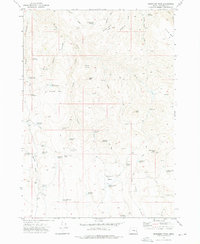
1972 · Monument Peak
USGS Topo · 1:24,000
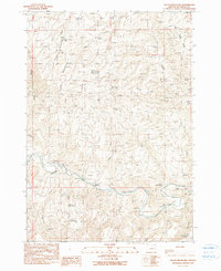
1990 · South Mountain
USGS Topo · 1:24,000
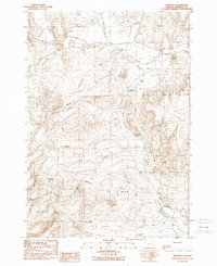
1990 · Westfall
USGS Topo · 1:24,000