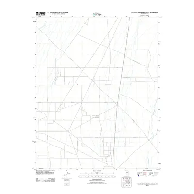
2012 Map of South of Amargosa Valley
USGS Topo · Published 2012About this map
Fortymile Wash and Rock Valley Wash dictate the drainage and development of this high desert terrain in Nye County. The landscape is defined by a rigid grid of roads that intersect the natural paths of these ephemeral washes, reflecting a highly planned agricultural or residential layout in a challenging environment. The naming conventions on this sheet are particularly striking, with a cluster of streets including Atomic Rd and Atomic St located near Williamson Rd and Barnett St, likely hinting at the region's proximity to the Nevada National Security Site. This area, dominated by the Amargosa Farms Rd corridor, shows a transition from structured farm plots to more open desert trails like Race Track Rd. Small local markers such as White Sands and School Ln provide specific points of interest for those researching the modern development of this desert community.
Find a feature on this map
38 named features on this map. Tap any name to fly to it.
Don’t see what you’re looking for? This feature index may not catch every label — zoom into the map to look around manually.
Map Details
Editions of this 2012 South of Amargosa Valley Map
This is the sole edition of this map. No revisions or reprints were ever made.
Other maps of this area

1908 · Furnace Creek
USGS Topo · 1:250,000

1910 · Furnace Creek
USGS Topo · 1:250,000

1942 · Skull Mountain
USGS Topo · 1:125,000

1942 · Bullfrog
USGS Topo · 1:125,000

1948 · Death Valley
USGS Topo · 1:250,000

1952 · Ash Meadows
USGS Topo · 1:62,500

1952 · Ryan
USGS Topo · 1:62,500

1952 · Big Dune
USGS Topo · 1:62,500

1954 · Death Valley
USGS Topo · 1:250,000

1956 · Death Valley
USGS Topo · 1:250,000