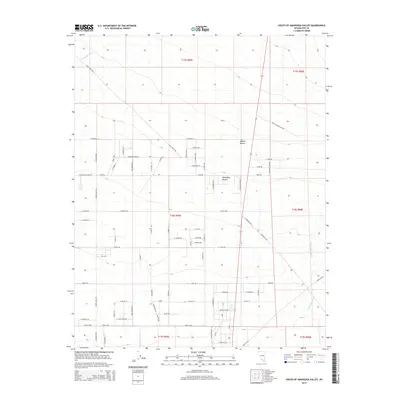
2015 Map of South of Amargosa Valley
USGS Topo · Published 2015About this map
The Amargosa Desert and the northern reaches of the Mojave Desert converge in this 2015 study of southern Nevada. The landscape is defined by the ephemeral courses of Fortymile Wash and Rock Valley Wash, drainage patterns that dictate the placement of human activity in this arid environment. A grid of rural residential roads and agricultural tracts, such as W Amargosa Farm Rd and F Desert Senior Ln, shows the organized attempt to cultivate and settle the basin floor. The presence of specialized infrastructure like Race Track Rd and Cross Country Race Rd suggests a unique recreational use of the flat, open terrain typical of this part of Nye County. This map serves as a detailed record of the desert's modernization, where legacy land divisions meet contemporary desert living.
Find a feature on this map
44 named features on this map. Tap any name to fly to it.
Don’t see what you’re looking for? This feature index may not catch every label — zoom into the map to look around manually.
Map Details
Editions of this 2015 South of Amargosa Valley Map
This is the sole edition of this map. No revisions or reprints were ever made.
Other maps of this area

1908 · Furnace Creek
USGS Topo · 1:250,000

1910 · Furnace Creek
USGS Topo · 1:250,000

1942 · Skull Mountain
USGS Topo · 1:125,000

1942 · Bullfrog
USGS Topo · 1:125,000

1948 · Death Valley
USGS Topo · 1:250,000

1952 · Ash Meadows
USGS Topo · 1:62,500

1952 · Ryan
USGS Topo · 1:62,500

1952 · Big Dune
USGS Topo · 1:62,500

1954 · Death Valley
USGS Topo · 1:250,000

1956 · Death Valley
USGS Topo · 1:250,000