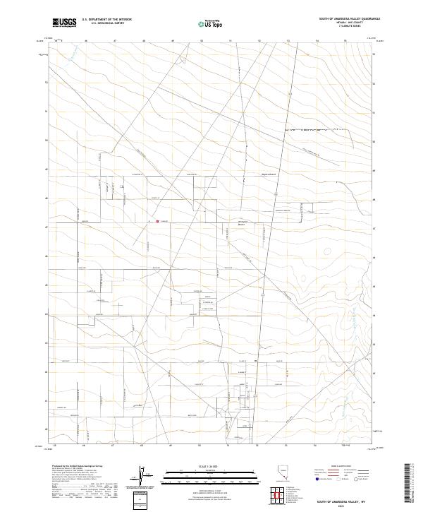
2021 Map of South of Amargosa Valley
USGS Topo · Published 2021About this map
The Mojave Desert terrain of Nye County dominates this landscape, where a sprawling grid of desert roads reveals the modern settlement patterns south of the Amargosa Valley. The map captures an arid environment defined by seasonal drainage systems like Fortymile Wash and Rock Valley Wash, which cut through the level basin. Residential and agricultural planning is evident in the dense network of local thoroughfares such as School Ln, Farm Rd, and Whitesands. A notable industrial or logistical presence is indicated by the long stretches of Powerline Rd and Racetrack Rd. This area reflects the late 20th and early 21st-century development of Nevada's high desert, characterized by large desert lots and a road system that respects the Public Land Survey System township and range boundaries including t16s r49e.
Find a feature on this map
64 named features on this map. Tap any name to fly to it.
Don’t see what you’re looking for? This feature index may not catch every label — zoom into the map to look around manually.
Map Details
Editions of this 2021 South of Amargosa Valley Map
This is the sole edition of this map. No revisions or reprints were ever made.
Other maps of this area

1908 · Furnace Creek
USGS Topo · 1:250,000

1910 · Furnace Creek
USGS Topo · 1:250,000

1942 · Skull Mountain
USGS Topo · 1:125,000

1942 · Bullfrog
USGS Topo · 1:125,000

1948 · Death Valley
USGS Topo · 1:250,000

1952 · Ash Meadows
USGS Topo · 1:62,500

1952 · Ryan
USGS Topo · 1:62,500

1952 · Big Dune
USGS Topo · 1:62,500

1954 · Death Valley
USGS Topo · 1:250,000

1956 · Death Valley
USGS Topo · 1:250,000