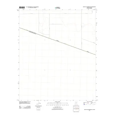
2011 Map of South of Somerton
USGS Topo · Published 2011About this map
Border Rd cuts a sharp diagonal across this arid landscape south of Somerton, tracing the international boundary line in the early 21st century. The map reveals a transition from the structured agricultural grid of Yuma County to the open desert terrain. Key transit corridors like S Avenue B and Avenue F terminate at or near this demarcation, illustrating the rigid geometry of the borderlands. The network of rural roads, including Co 23rd St S and Co 24 St, provides a detailed look at the local infrastructure supporting the region's agricultural and security-focused landscape. This survey by the U.S. Geological Survey preserves the exact placement of these routes and the sparse layout of the terrain just before subsequent developments in border infrastructure.
Find a feature on this map
8 named features on this map. Tap any name to fly to it.
Don’t see what you’re looking for? This feature index may not catch every label — zoom into the map to look around manually.
Map Details
Editions of this 2011 South of Somerton Map
This is the sole edition of this map. No revisions or reprints were ever made.
Other maps of this area

1903 · Yuma
USGS Topo · 1:125,000

1905 · Yuma
USGS Topo · 1:125,000

1940 · Yuma
USGS Topo · 1:62,500

1942 · Yuma
USGS Topo · 1:250,000

1945 · Yuma
USGS Topo · 1:62,500

1954 · El Centro
USGS Topo · 1:250,000

1955 · El Centro
USGS Topo · 1:250,000

1958 · El Centro
USGS Topo · 1:250,000

1961 · El Centro
USGS Topo · 1:250,000

1964 · El Centro
USGS Topo · 1:250,000