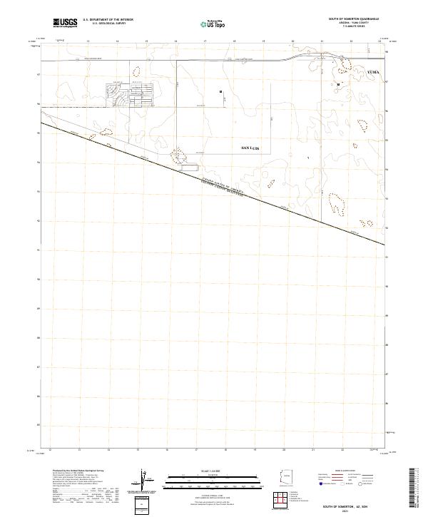
2021 Map of South of Somerton
USGS Topo · Published 2021About this map
San Luis and the southern reaches of Yuma define this desert landscape along the international boundary in the early 2020s. The map illustrates a strictly organized grid of local roads and thoroughfares that support the growing border community. Major transit corridors like Juan Sanchez Blvd and Co 24th St provide the framework for residential and commercial development, while San Luis Ln and Aracely St serve localized neighborhoods.
Find a feature on this map
14 named features on this map. Tap any name to fly to it.
Don’t see what you’re looking for? This feature index may not catch every label — zoom into the map to look around manually.
Map Details
Editions of this 2021 South of Somerton Map
This is the sole edition of this map. No revisions or reprints were ever made.
Other maps of this area

1903 · Yuma
USGS Topo · 1:125,000

1905 · Yuma
USGS Topo · 1:125,000

1940 · Yuma
USGS Topo · 1:62,500

1942 · Yuma
USGS Topo · 1:250,000

1945 · Yuma
USGS Topo · 1:62,500

1954 · El Centro
USGS Topo · 1:250,000

1955 · El Centro
USGS Topo · 1:250,000

1958 · El Centro
USGS Topo · 1:250,000

1961 · El Centro
USGS Topo · 1:250,000

1964 · El Centro
USGS Topo · 1:250,000