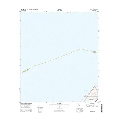
2015 Map of South Point
USGS Topo · Published 2015About this map
Lake Pontchartrain dominates this coastal landscape, where the vast open waters of the lake meet the low-lying marshlands of southeastern Louisiana. The map focuses on the slender peninsula leading toward South Point, a distinct geographic tip that marks a transition in the shoreline. This area is defined by its complex network of small waterways, including Cane Bayou and Bayou Castiglione, which drain the surrounding wetlands into the larger basin. The boundary between St. Tammany Parish and Orleans Parish runs through the open water, illustrating the administrative divisions that exist even in these maritime reaches. This 2015 survey provides a modern baseline for the coastal geography of the New Orleans area, documenting the fragile interface of land and water as it existed in the early 21st century.
Find a feature on this map
7 named features on this map. Tap any name to fly to it.
Don’t see what you’re looking for? This feature index may not catch every label — zoom into the map to look around manually.
Map Details
Editions of this 2015 South Point Map
This is the sole edition of this map. No revisions or reprints were ever made.
Other maps of this area

1891 · Spanish Fort
USGS Topo · 1:62,500

1892 · Chef Menteur
USGS Topo · 1:62,500

1935 · Slidell
USGS Topo · 1:62,500

1935 · Covington
USGS Topo · 1:62,500

1936 · North Shore
USGS Topo · 1:31,680

1936 · South Point
USGS Topo · 1:31,680

1936 · Chef Menteur
USGS Topo · 1:62,500

1936 · Spanish Fort
USGS Topo · 1:62,500

1937 · Chef Menteur
USGS Topo · 1:31,680

1938 · Little Woods
USGS Topo · 1:31,680