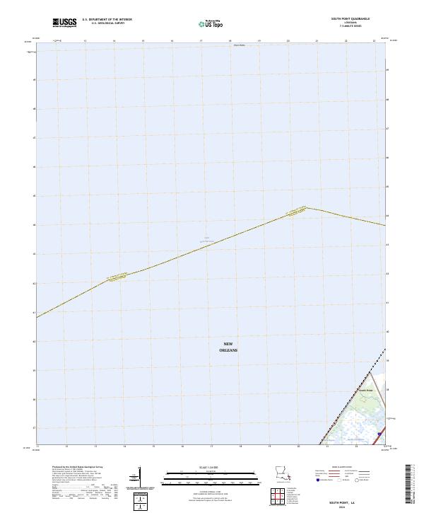
2024 Map of South Point
USGS Topo · Published 2024About this map
Lake Pontchartrain dominates this coastal landscape, illustrating the vast aquatic boundary between the northern and southern parishes. The aquatic expanse is framed by the Big Branch Marsh National Wildlife Refuge to the north and the Bayou Sauvage National Wildlife Refuge at the southeastern edge, highlighting the preserved wetlands essential to the region's ecology. In the lower right corner, the settlement of South Point sits near the confluence of the Little Woods Canal and Bayou Castiglione, where the land begins to break into the marsh. This 2024 map documents the modern parish line dividing St. Tammany Parish and Orleans Parish, tracing a path directly through the water. It provides a clear record of the intersection between managed federal lands and the edges of the New Orleans metropolitan area.
Find a feature on this map
12 named features on this map. Tap any name to fly to it.
Don’t see what you’re looking for? This feature index may not catch every label — zoom into the map to look around manually.
Map Details
Editions of this 2024 South Point Map
This is the sole edition of this map. No revisions or reprints were ever made.
Other maps of this area

1891 · Spanish Fort
USGS Topo · 1:62,500

1892 · Chef Menteur
USGS Topo · 1:62,500

1935 · Slidell
USGS Topo · 1:62,500

1935 · Covington
USGS Topo · 1:62,500

1936 · North Shore
USGS Topo · 1:31,680

1936 · South Point
USGS Topo · 1:31,680

1936 · Chef Menteur
USGS Topo · 1:62,500

1936 · Spanish Fort
USGS Topo · 1:62,500

1937 · Chef Menteur
USGS Topo · 1:31,680

1938 · Little Woods
USGS Topo · 1:31,680