2023 Map of South Salem
USGS Topo · Published 2023About this map
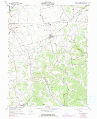
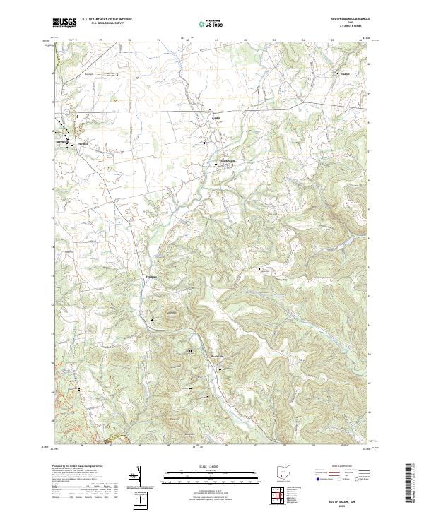
South Salem and the surrounding agricultural uplands of Ross Co and Highland Co are defined by a network of drainage systems feeding into Buckskin Creek and Paint Creek. The landscape transitions from the relatively level terrain around Greenfield and Lyndon in the northwest to the more complex ridges of the southeast. This higher ground is marked by prominent elevations including Edginton Hill, Turkey Ridge, and Pricer Ridge. For genealogists, the map is particularly detailed regarding burial sites, identifying numerous small family or community grounds such as Old Stone Cem, Satchel Cem, and the Hymiller Cem. Small population centers like Thrifton, Fruitdale, and Humboldt serve as anchors for the rural road network, while features like Grawley Lake and Dewey Creek illustrate the local hydrology. The survey also captures the border between the two counties as it traverses the southern reach near Bald Knob and Tong Hollow.
Find a feature on this map
96 named features on this map. Tap any name to fly to it.
Don’t see what you’re looking for? This feature index may not catch every label — zoom into the map to look around manually.
Map Details
Editions of this 2023 South Salem Map
This is the sole edition of this map. No revisions or reprints were ever made.