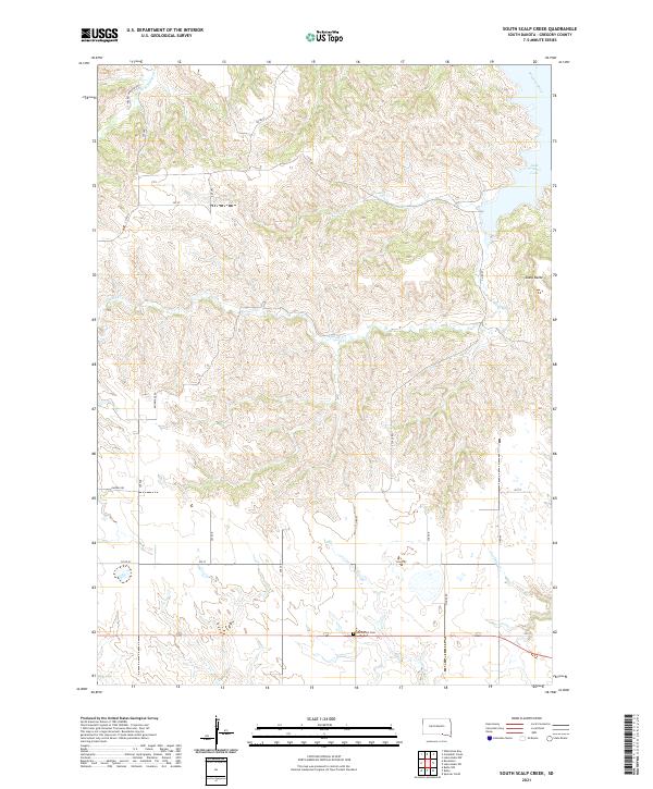
2021 Map of South Scalp Creek
USGS Topo · Published 2021About this map
Scalp Butte rises above the dissected tablelands of Gregory County, marking the transition from high plains to the river breaks of the Missouri River. This landscape is defined by the reservoir of Lake Francis Case to the northeast and a network of drainage systems including S Scalp Cr and N Scalp Cr. The southern portion of the map reveals a more settled, grid-based agricultural pattern where the Bethelhem Cem serves as a localized landmark for those tracing family history in the region. Transportation follows a mix of section-line roads like Fairfax Rd and specialized routes such as Blueridge Rd, which negotiate the deep draws and ridges that characterize the area's complex topography. The map illustrates the careful balance of modern ranching infrastructure against the natural relief of central South Dakota.
Find a feature on this map
31 named features on this map. Tap any name to fly to it.
Don’t see what you’re looking for? This feature index may not catch every label — zoom into the map to look around manually.
Map Details
Editions of this 2021 South Scalp Creek Map
This is the sole edition of this map. No revisions or reprints were ever made.
Other maps of this area

1951 · Butte NW
USGS Topo · 1:24,000

1955 · Mitchell
USGS Topo · 1:250,000

1955 · O'Neill
USGS Topo · 1:250,000

1959 · O'Neill
USGS Topo · 1:250,000

1959 · Mitchell
USGS Topo · 1:250,000

1964 · Campbell Creek
USGS Topo · 1:24,000

1964 · Butte
USGS Topo · 1:24,000

1964 · Whetstone Bay
USGS Topo · 1:24,000

1964 · Lake Andes NW
USGS Topo · 1:24,000

1964 · Lake Andes SW
USGS Topo · 1:24,000