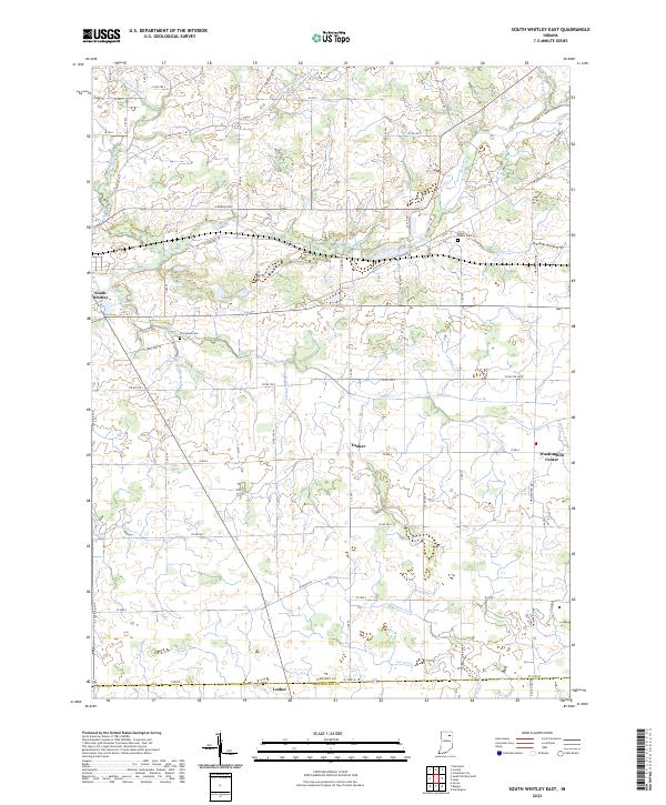
2022 Map of South Whitley East
USGS Topo · Published 2022About this map
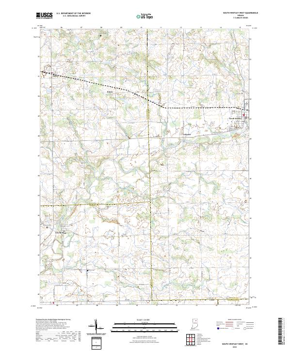
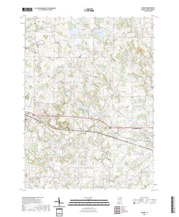
The Eel River and its network of tributaries define this agricultural landscape in southern Whitley County, where the transition to Huntington County is marked by the southern border. The terrain is characterized by an extensive system of man-made and natural waterways, including Lehman Ditch, Lee Ditch, and Compton Ditch, which support the drainage of the fertile prairie lands. Small, traditional crossroads settlements like Tunker and Washington Center remain central to the rural geography, while the town of South Whitley anchors the northwestern corner of the quadrangle.
Find a feature on this map
43 named features on this map. Tap any name to fly to it.
Don’t see what you’re looking for? This feature index may not catch every label — zoom into the map to look around manually.
Map Details
Editions of this 2022 South Whitley East Map
This is the sole edition of this map. No revisions or reprints were ever made.
Historical Maps of Wolftown Through Time
9 maps found
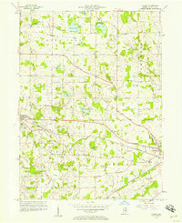
1956 Lorane
Whitley County, IN
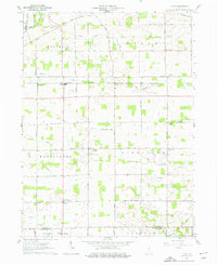
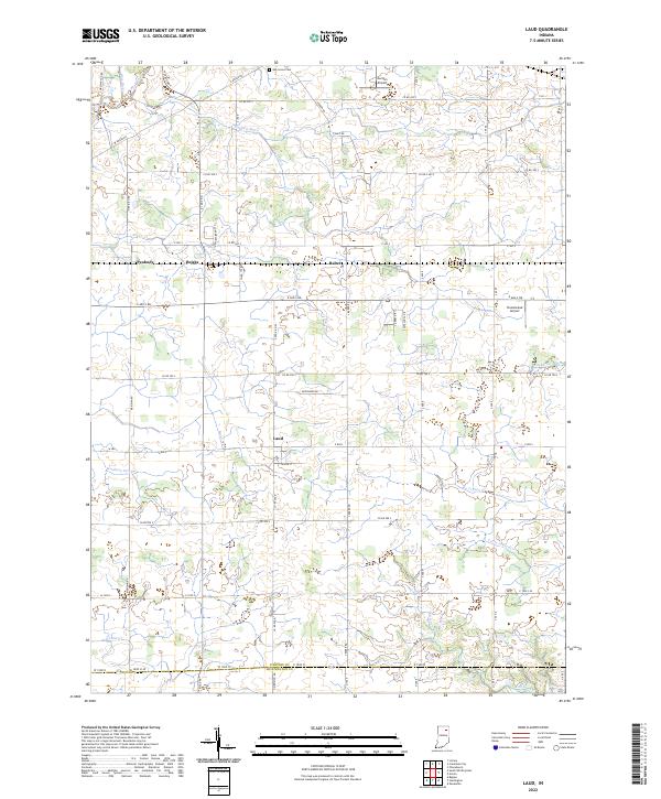
1961 Laud
Whitley County, IN
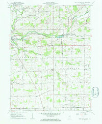
1962 South Whitley East
Whitley County, IN
1962 South Whitley West
Whitley County, IN
1965 Lorane
Whitley County, IN
2022 Laud
Whitley County, IN
2022 South Whitley East
Whitley County, IN
2022 South Whitley West
Whitley County, IN
2023 Lorane
Whitley County, IN