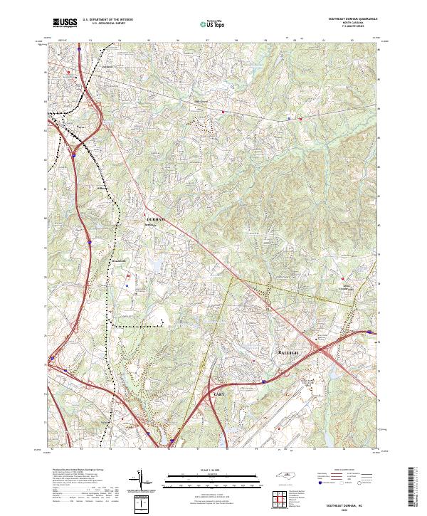
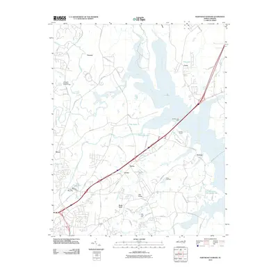
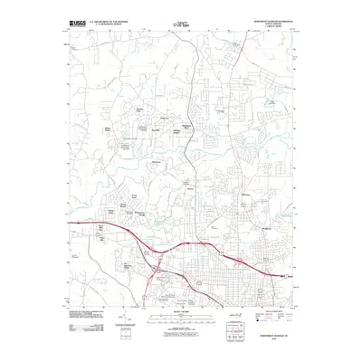
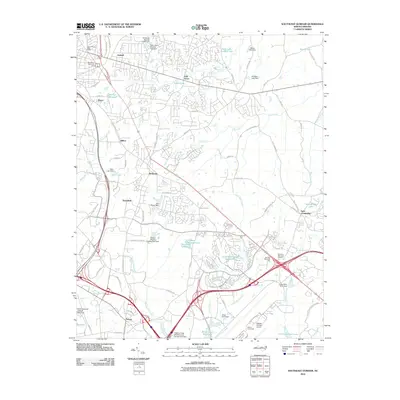
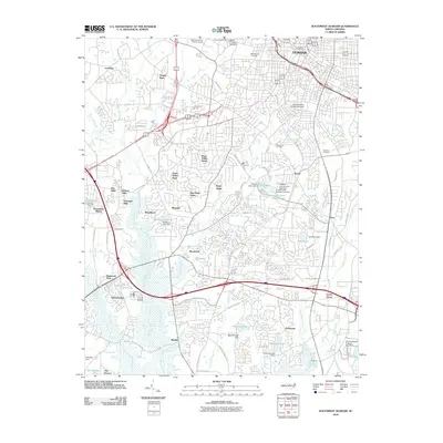
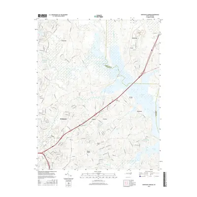
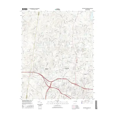
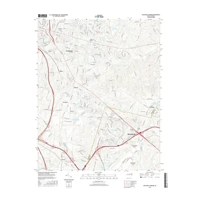
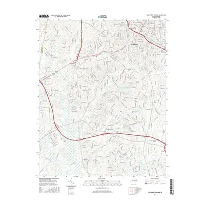
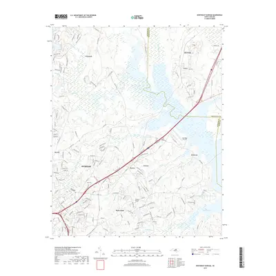
2022 Map of Southeast Durham
USGS Topo · Published 2022About this map
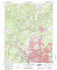
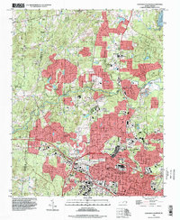
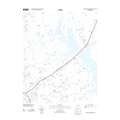
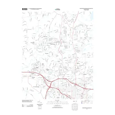
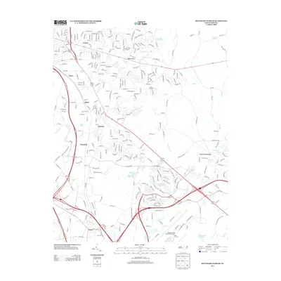
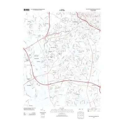
Durham, Raleigh, and Cary converge in this detailed mapping of the Research Triangle's urban and suburban growth. The landscape is characterized by a transition from established residential neighborhoods like Joyland and Oak Grove in the north to the sprawling industrial and commercial corridors surrounding the Raleigh-Durham International Airport. Significant hydrological features such as Wake Crossroads Lake, Mitchell Millpond, and Twin Lake Number One break up the dense road networks, while Brier Creek and its tributaries like Stirrup Iron Creek snake through the developing suburbs. Genealogists and local historians will find value in the precise locations of the Woodlawn Memorial Park and Brier Creek Memorial Gardens cemeteries, alongside education-focused landmarks like the Apex School of Theology near the Brassfield area. The map illustrates how transportation infrastructure, particularly around Nelson and the intersection of major routes, continues to shape the region's topography.
Find a feature on this map
256 named features on this map. Tap any name to fly to it.
Don’t see what you’re looking for? This feature index may not catch every label — zoom into the map to look around manually.
Map Details
Editions of this 2022 Southeast Durham Map
This is the sole edition of this map. No revisions or reprints were ever made.
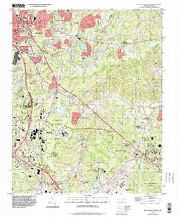
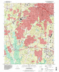
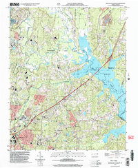
Historical Maps of Raleigh Through Time
32 maps found

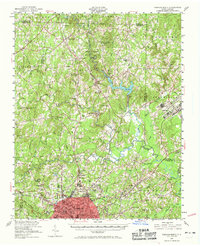
1943 Durham South
Durham County, NC
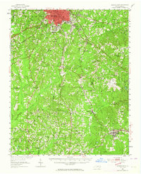
1951 Durham North
Durham County, NC
1951 Durham South
Durham County, NC
1973 Northeast Durham
Durham County, NC
1973 Northwest Durham
Durham County, NC
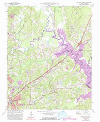
1973 Southeast Durham
Durham County, NC
1973 Southwest Durham
Durham County, NC
1993 Northeast Durham
Durham County, NC
1993 Northwest Durham
Durham County, NC
1993 Southeast Durham
Durham County, NC
1993 Southwest Durham
Durham County, NC
1999 Northeast Durham
Durham County, NC
2010 Northeast Durham
Durham County, NC
2010 Northwest Durham
Durham County, NC
2010 Southeast Durham
Durham County, NC
2010 Southwest Durham
Durham County, NC
2013 Northeast Durham
Durham County, NC
2013 Northwest Durham
Durham County, NC
2013 Southeast Durham
Durham County, NC
2013 Southwest Durham
Durham County, NC
2016 Northeast Durham
Durham County, NC
2016 Northwest Durham
Durham County, NC
2016 Southeast Durham
Durham County, NC
2016 Southwest Durham
Durham County, NC
2019 Northeast Durham
Durham County, NC
2019 Northwest Durham
Durham County, NC
2019 Southeast Durham
Durham County, NC
2019 Southwest Durham
Durham County, NC
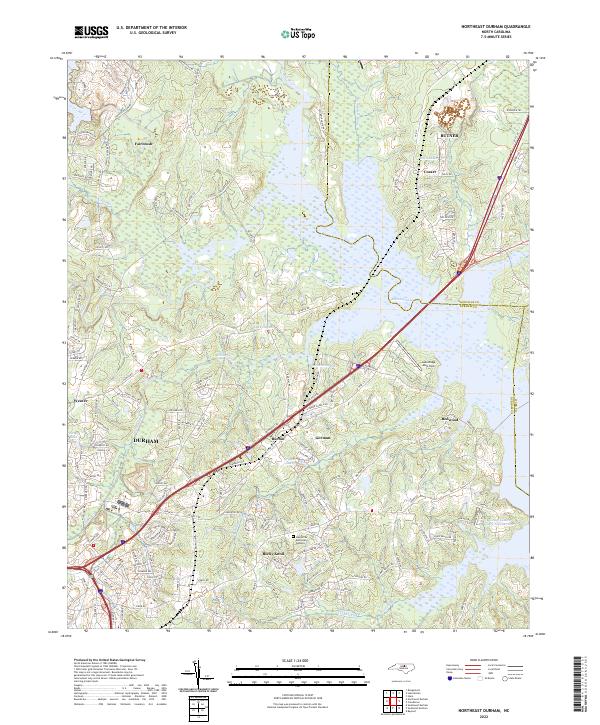
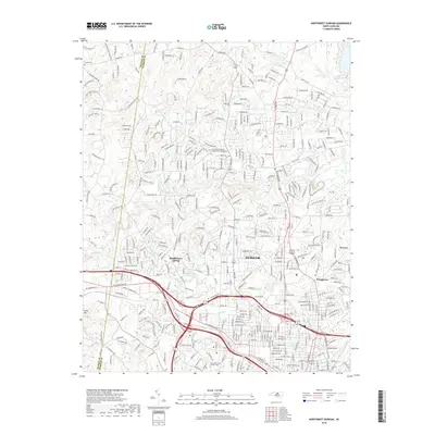
2022 Northeast Durham
Durham County, NC
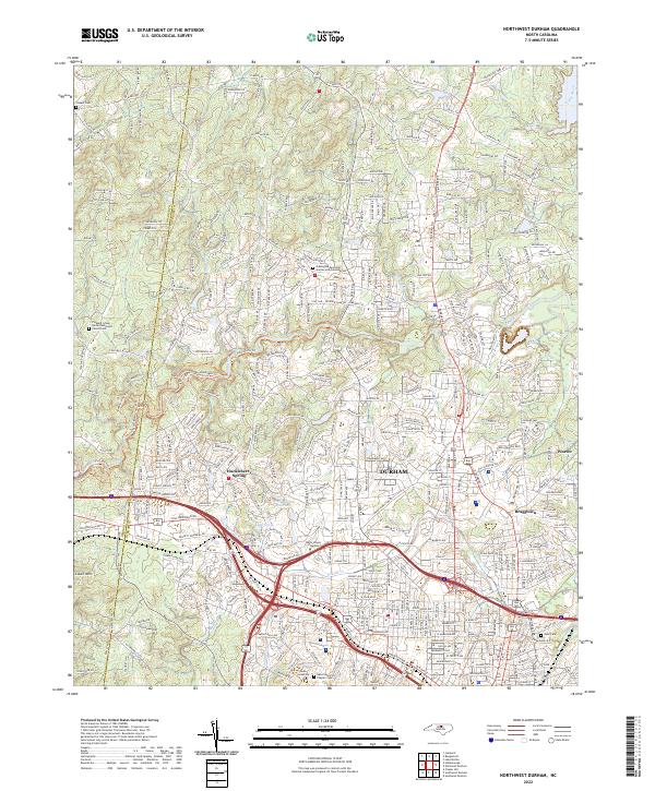
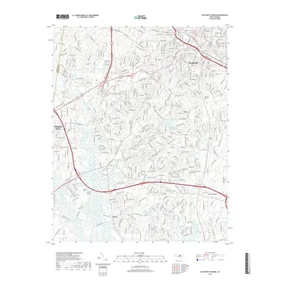
2022 Northwest Durham
Durham County, NC
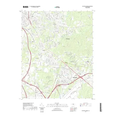
2022 Southeast Durham
Durham County, NC
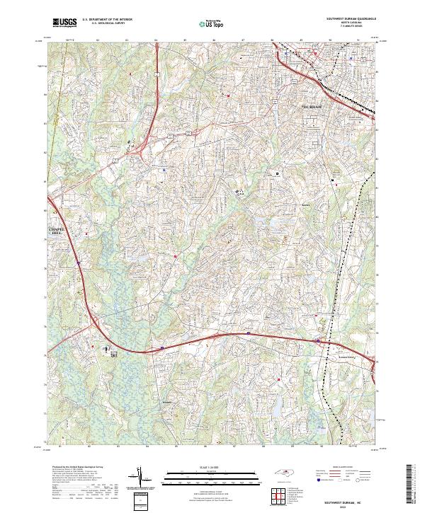
2022 Southwest Durham
Durham County, NC