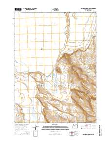
2014 Map of Southeast Harney Lake
USGS Topo · Published 2014About this map
Harney Lake and the seasonally fluctuating shoreline of Mud Lake dominate this high-desert basin in the early 21st century. The map illustrates a landscape of internal drainage, where water from sources like Lynch Spring and the ephemeral Jackass Cr feeds into terminal basins. This corner of Harney County is defined by its vast alkali flats and geological transitions, notably at Sand Gap and the expansive Weed Lake Flat. Human intervention is minimal in this arid environment, represented primarily by Catlow Rd, which serves as a vital north-south artery through the basin. The survey meticulously delineates the Public Land Survey System grids, including complex half-range adjustments like t27s r29 1/2e, reflecting the historical challenges of surveying this basin's unique topography.
Find a feature on this map
12 named features on this map. Tap any name to fly to it.
Don’t see what you’re looking for? This feature index may not catch every label — zoom into the map to look around manually.
Map Details
Editions of this 2014 Southeast Harney Lake Map
This is the sole edition of this map. No revisions or reprints were ever made.
Other maps of this area

1955 · Burns
USGS Topo · 1:250,000

1958 · Burns
USGS Topo · 1:250,000

1959 · Burns
USGS Topo · 1:250,000

1959 · Dog Mountain
USGS Topo · 1:62,500

1959 · Lawen
USGS Topo · 1:62,500

1967 · Coyote Buttes
USGS Topo · 1:24,000

1967 · Jackass Butte
USGS Topo · 1:24,000

1978 · Malheur Lake
USGS Topo · 1:100,000
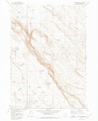
1980 · Twin Buttes
USGS Topo · 1:24,000
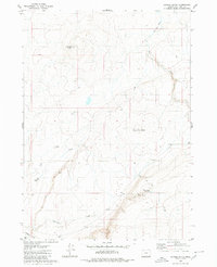
1980 · Jackass Butte
USGS Topo · 1:24,000