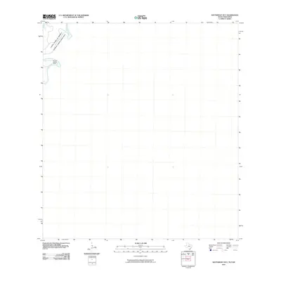
2010 Map of Southmost OE E
USGS Topo · Published 2010About this map
Rio Grande waters define the international boundary at the far southern edge of Texas in this 2010 survey. This specific quadrangle captures a bend in the river that separates the United States of America and Mexico, highlighting a quiet stretch of the borderlands. The most prominent landmark on the American side is the Old San Joaquin Ranch, situated near a sweeping curve of the river. The map illustrates the sparsely settled character of the immediate riverfront at the start of the decade, where the landscape is primarily shaped by the winding waterway and private ranching interests.
Find a feature on this map
3 named features on this map. Tap any name to fly to it.
Don’t see what you’re looking for? This feature index may not catch every label — zoom into the map to look around manually.
Map Details
Editions of this 2010 Southmost OE E Map
This is the sole edition of this map. No revisions or reprints were ever made.
Other maps of this area

1929 · Palmito Hill
USGS Topo · 1:24,000

1930 · East Brownsville
USGS Topo · 1:24,000

1936 · Palmito Hill
USGS Topo · 1:31,680
1936 · Mouth Of Rio Grande
USGS Topo · 1:31,680
1936 · East Brownsville
USGS Topo · 1:31,680
1936 · Southmost
USGS Topo · 1:31,680

1953 · Brownsville
USGS Topo · 1:250,000
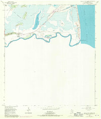
1955 · Mouth Of Rio Grande
USGS Topo · 1:24,000
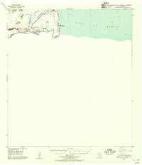
1955 · Mouth Of Rio Grande
USGS Topo · 1:62,500
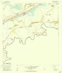
1955 · Palmito Hill
USGS Topo · 1:24,000