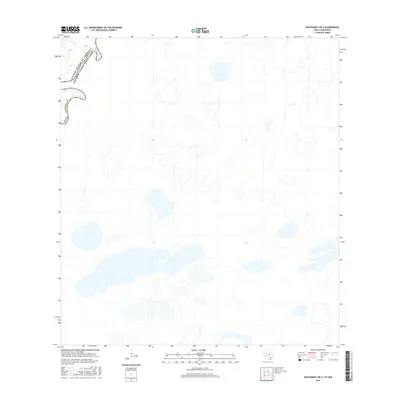
2016 Map of Southmost OE E
USGS Topo · Published 2016About this map
The Rio Grande snakes through the northwest corner of this 2016 survey, defining the international boundary between Cameron County, Texas, and the United States and Mexico. The landscape is dominated by a complex network of wetlands and ephemeral water bodies characteristic of the lower Rio Grande delta. These scattered basins and oxbow remnants illustrate the shifting hydrology of the borderlands, where the river's historical meanders have left a lasting imprint on the terrain. While largely devoid of named settlements or major infrastructure, the map provides a precise look at the natural topography and political boundaries of the Southmost region as they existed in the mid-2010s.
Find a feature on this map
3 named features on this map. Tap any name to fly to it.
Don’t see what you’re looking for? This feature index may not catch every label — zoom into the map to look around manually.
Map Details
Editions of this 2016 Southmost OE E Map
This is the sole edition of this map. No revisions or reprints were ever made.
Other maps of this area

1929 · Palmito Hill
USGS Topo · 1:24,000

1930 · East Brownsville
USGS Topo · 1:24,000

1936 · Palmito Hill
USGS Topo · 1:31,680
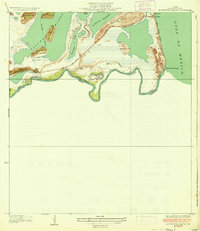
1936 · Mouth Of Rio Grande
USGS Topo · 1:31,680
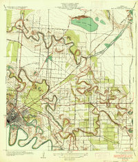
1936 · East Brownsville
USGS Topo · 1:31,680
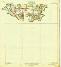
1936 · Southmost
USGS Topo · 1:31,680

1953 · Brownsville
USGS Topo · 1:250,000
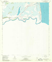
1955 · Mouth Of Rio Grande
USGS Topo · 1:24,000
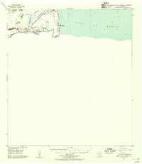
1955 · Mouth Of Rio Grande
USGS Topo · 1:62,500
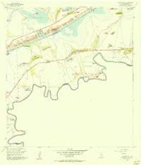
1955 · Palmito Hill
USGS Topo · 1:24,000