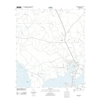
2012 Map of Southport
USGS Topo · Published 2012About this map
The coastal geography of Bay County is defined here by the intricate finger-like extensions of West Bay and North Bay, where the shoreline is deeply indented by numerous waterways such as Warren Bayou, Fannin Bayou, and Alligator Bayou. In the early 21st century, the residential grid of Southport sits at the junction of several local routes, while the smaller settlement of Vicksburg is identified further inland near the Vicksburg Fire Tower.
Find a feature on this map
81 named features on this map. Tap any name to fly to it.
Don’t see what you’re looking for? This feature index may not catch every label — zoom into the map to look around manually.
Map Details
Editions of this 2012 Southport Map
This is the sole edition of this map. No revisions or reprints were ever made.
Other maps of this area

1943 · Panama City
USGS Topo · 1:31,680

1943 · Panama City Beach
USGS Topo · 1:31,680

1943 · West Bay
USGS Topo · 1:24,000

1943 · Southport
USGS Topo · 1:24,000

1944 · Southport
USGS Topo · 1:24,000

1944 · West Bay
USGS Topo · 1:31,680

1944 · Crystal Lake
USGS Topo · 1:24,000

1944 · Bayhead
USGS Topo · 1:24,000

1944 · Bennett
USGS Topo · 1:24,000

1945 · Bennett
USGS Topo · 1:31,680