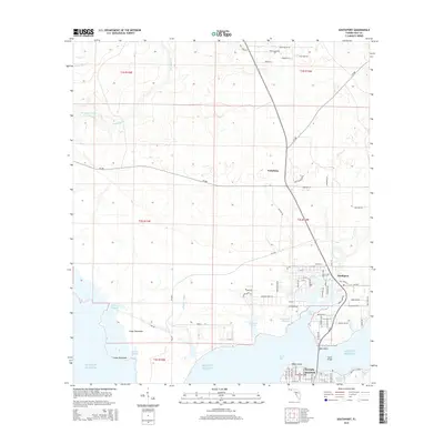
2015 Map of Southport
USGS Topo · Published 2015About this map
North Bay dominates the southern landscape of this coastal survey, where the saltwater reaches inland through a complex network of inlets. The shoreline is defined by numerous named features such as Warren Bayou, Sheephead Bayou, and Fannin Bayou, reflecting the intricate geography of the Florida Panhandle. Further south, the urban layout of Lynn Haven appears with a structured grid of streets, including Florida Ave and Alabama Ave, contrasting with the more dispersed settlements of Southport and Vicksburg to the north.
Find a feature on this map
86 named features on this map. Tap any name to fly to it.
Don’t see what you’re looking for? This feature index may not catch every label — zoom into the map to look around manually.
Map Details
Editions of this 2015 Southport Map
This is the sole edition of this map. No revisions or reprints were ever made.
Other maps of this area

1943 · Panama City
USGS Topo · 1:31,680

1943 · Panama City Beach
USGS Topo · 1:31,680

1943 · West Bay
USGS Topo · 1:24,000

1943 · Southport
USGS Topo · 1:24,000

1944 · Southport
USGS Topo · 1:24,000

1944 · West Bay
USGS Topo · 1:31,680

1944 · Crystal Lake
USGS Topo · 1:24,000

1944 · Bayhead
USGS Topo · 1:24,000

1944 · Bennett
USGS Topo · 1:24,000

1945 · Bennett
USGS Topo · 1:31,680