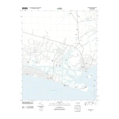
2010 Map of Southport
USGS Topo · Published 2010About this map
Fort Caswell anchors the southern tip of this coastal survey, where the Cape Fear River meets the Atlantic Ocean. The landscape is defined by the intricate marshlands and tidal creeks of the Cape Fear delta, including Dutchman Creek, Walden Creek, and the waters surrounding Buck Island. This 2010 edition documents the residential expansion of communities like Saint James and the established waterfront character of Southport, where the Southport Marina and Southport Light One serve as vital maritime markers.
Find a feature on this map
61 named features on this map. Tap any name to fly to it.
Don’t see what you’re looking for? This feature index may not catch every label — zoom into the map to look around manually.
Map Details
Editions of this 2010 Southport Map
This is the sole edition of this map. No revisions or reprints were ever made.
Other maps of this area

1942 · Wilmington
USGS Topo · 1:62,500

1942 · Cape Fear
USGS Topo · 1:24,000

1943 · Funston
USGS Topo · 1:24,000

1943 · Bolivia
USGS Topo · 1:24,000

1943 · Lockwoods Folly
USGS Topo · 1:24,000

1944 · Bolivia
USGS Topo · 1:31,680

1944 · Lockwoods Folly
USGS Topo · 1:31,680

1946 · Southport
USGS Topo · 1:24,000

1946 · Snow Marsh
USGS Topo · 1:24,000

1948 · Wilmington
USGS Topo · 1:62,500