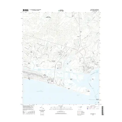
2016 Map of Southport
USGS Topo · Published 2016About this map
Southport stands as the historic maritime anchor of this coastal landscape, situated where the Cape Fear River meets the Atlantic Ocean. The map reveals a densely developed barrier island environment, with Oak Island featuring a grid of residential streets extending through Long Beach and Yaupon Beach. To the east, the strategic tip of the peninsula is occupied by Fort Caswell, a site of longstanding military importance guarding the mouth of the river.
Find a feature on this map
300 named features on this map. Tap any name to fly to it.
Don’t see what you’re looking for? This feature index may not catch every label — zoom into the map to look around manually.
Map Details
Editions of this 2016 Southport Map
This is the sole edition of this map. No revisions or reprints were ever made.
Other maps of this area

1942 · Wilmington
USGS Topo · 1:62,500

1942 · Cape Fear
USGS Topo · 1:24,000

1943 · Funston
USGS Topo · 1:24,000

1943 · Bolivia
USGS Topo · 1:24,000

1943 · Lockwoods Folly
USGS Topo · 1:24,000

1944 · Bolivia
USGS Topo · 1:31,680

1944 · Lockwoods Folly
USGS Topo · 1:31,680

1946 · Southport
USGS Topo · 1:24,000

1946 · Snow Marsh
USGS Topo · 1:24,000

1948 · Wilmington
USGS Topo · 1:62,500