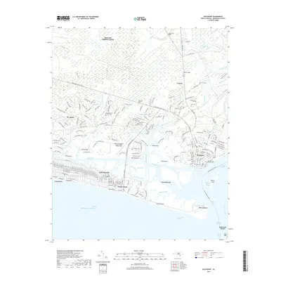
2019 Map of Southport
USGS Topo · Published 2019About this map
Southport stands as the historic anchor of the Cape Fear River mouth, its grid of streets terminating at the waterfront across from Battery Island. This coastal landscape is defined by the complex intersection of the Elizabeth River, the Intracoastal Waterway, and the Cape Fear River. The map meticulously records numerous burial sites of high genealogical value, including the Old Smithville Burying Ground and Northwood Cem, alongside family plots like the Swain Family Cem.
Find a feature on this map
231 named features on this map. Tap any name to fly to it.
Don’t see what you’re looking for? This feature index may not catch every label — zoom into the map to look around manually.
Map Details
Editions of this 2019 Southport Map
This is the sole edition of this map. No revisions or reprints were ever made.
Other maps of this area

1942 · Wilmington
USGS Topo · 1:62,500

1942 · Cape Fear
USGS Topo · 1:24,000

1943 · Funston
USGS Topo · 1:24,000

1943 · Bolivia
USGS Topo · 1:24,000

1943 · Lockwoods Folly
USGS Topo · 1:24,000

1944 · Bolivia
USGS Topo · 1:31,680

1944 · Lockwoods Folly
USGS Topo · 1:31,680

1946 · Southport
USGS Topo · 1:24,000

1946 · Snow Marsh
USGS Topo · 1:24,000

1948 · Wilmington
USGS Topo · 1:62,500