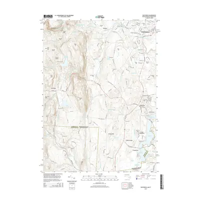
2015 Map of Southwick
USGS Topo · Published 2015About this map
Westfield and Southwick occupy the eastern plains of this 2015 landscape, where the terrain transitions from the high peaks of the Metacomet Ridge and Sodom Mtn into a complex hydrologic network. The region is defined by significant water management infrastructure, including the Springfield Water Works Intake Reservoir and the W Parish Filter Number Three Reservoir, connected by the Springfield Aqueduct and Wild Cat Aqueduct. These systems underscore the industrial and civic requirements of the Pioneer Valley, pulling from the Little River and its numerous tributaries like Walker Brook and Japhet Brook.
Find a feature on this map
169 named features on this map. Tap any name to fly to it.
Don’t see what you’re looking for? This feature index may not catch every label — zoom into the map to look around manually.
Map Details
Editions of this 2015 Southwick Map
This is the sole edition of this map. No revisions or reprints were ever made.
Other maps of this area

1886 · Springfield
USGS Topo · 1:62,500

1887 · Granville
USGS Topo · 1:62,500

1889 · Springfield
USGS Topo · 1:62,500

1889 · Granville
USGS Topo · 1:62,500

1892 · Hartford
USGS Topo · 1:62,500

1892 · Granby
USGS Topo · 1:62,500

1893 · Springfield
USGS Topo · 1:62,500

1893 · Granville
USGS Topo · 1:62,500

1895 · Springfield
USGS Topo · 1:62,500

1895 · Granville
USGS Topo · 1:62,500