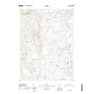
2021 Map of Southwick
USGS Topo · Published 2021About this map
Sodom Mtn and the Metacomet Ridge define the vertical relief of this southern Massachusetts and northern Connecticut borderlands survey. The landscape is heavily shaped by water management and recreation, anchored by the Granville Reservoir and the West Parish Filter Number Three Reservoir in the north, while the southern reaches feature the chain of North Pond, Middle Pond, and Congamond Lakes South Pond near Congamond.
Find a feature on this map
172 named features on this map. Tap any name to fly to it.
Don’t see what you’re looking for? This feature index may not catch every label — zoom into the map to look around manually.
Map Details
Editions of this 2021 Southwick Map
This is the sole edition of this map. No revisions or reprints were ever made.
Other maps of this area

1886 · Springfield
USGS Topo · 1:62,500

1887 · Granville
USGS Topo · 1:62,500

1889 · Springfield
USGS Topo · 1:62,500

1889 · Granville
USGS Topo · 1:62,500

1892 · Hartford
USGS Topo · 1:62,500

1892 · Granby
USGS Topo · 1:62,500

1893 · Springfield
USGS Topo · 1:62,500

1893 · Granville
USGS Topo · 1:62,500

1895 · Springfield
USGS Topo · 1:62,500

1895 · Granville
USGS Topo · 1:62,500