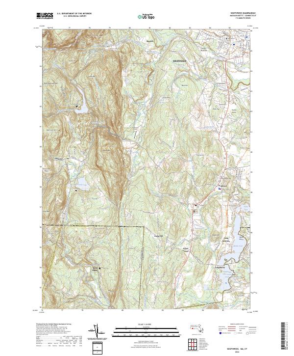
2024 Map of Southwick
USGS Topo · Published 2024About this map
Southwick and the neighboring hills of Granville form the heart of this landscape along the Massachusetts and Connecticut border. The terrain is defined by the prominent Metacomet Ridge and a series of peaks including Sodom Mtn, Drake Mtn, and Seymour Mtn. To the west, the Lower Farmington River and Salmon Brook Wild and Scenic River corridor highlights the region's preserved natural character, further anchored by the Silvio O Conte National Fish and Wildlife Refuge.
Find a feature on this map
193 named features on this map. Tap any name to fly to it.
Don’t see what you’re looking for? This feature index may not catch every label — zoom into the map to look around manually.
Map Details
Editions of this 2024 Southwick Map
This is the sole edition of this map. No revisions or reprints were ever made.
Other maps of this area

1886 · Springfield
USGS Topo · 1:62,500

1887 · Granville
USGS Topo · 1:62,500

1889 · Springfield
USGS Topo · 1:62,500

1889 · Granville
USGS Topo · 1:62,500

1892 · Hartford
USGS Topo · 1:62,500

1892 · Granby
USGS Topo · 1:62,500

1893 · Springfield
USGS Topo · 1:62,500

1893 · Granville
USGS Topo · 1:62,500

1895 · Springfield
USGS Topo · 1:62,500

1895 · Granville
USGS Topo · 1:62,500