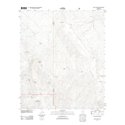
2011 Map of Soza Canyon
USGS Topo · Published 2011About this map
The San Pedro River corridor serves as the central artery for this part of Cochise County, anchoring a series of family ranching operations including Soza Ranch, Spear Ranch, and Cascabel Ranch. The terrain is defined by complex drainage systems and ridges that feed into the river valley, notably Soza Canyon and the prominent Banco Ridge. The small settlement of Cascabel sits at a critical junction of local routes like N Cascabel Rd, reflecting a landscape where water sources dictate human activity.
Find a feature on this map
40 named features on this map. Tap any name to fly to it.
Don’t see what you’re looking for? This feature index may not catch every label — zoom into the map to look around manually.
Map Details
Editions of this 2011 Soza Canyon Map
This is the sole edition of this map. No revisions or reprints were ever made.
Other maps of this area

1904 · Tucson
USGS Topo · 1:125,000

1905 · Tucson
USGS Topo · 1:125,000

1945 · Redington
USGS Topo · 1:62,500

1945 · Happy Valley
USGS Topo · 1:62,500

1956 · Tucson
USGS Topo · 1:250,000

1957 · Bellota Ranch
USGS Topo · 1:62,500

1957 · Rincon Valley
USGS Topo · 1:62,500

1957 · Redington
USGS Topo · 1:62,500

1958 · Tucson
USGS Topo · 1:250,000

1958 · Happy Valley
USGS Topo · 1:62,500