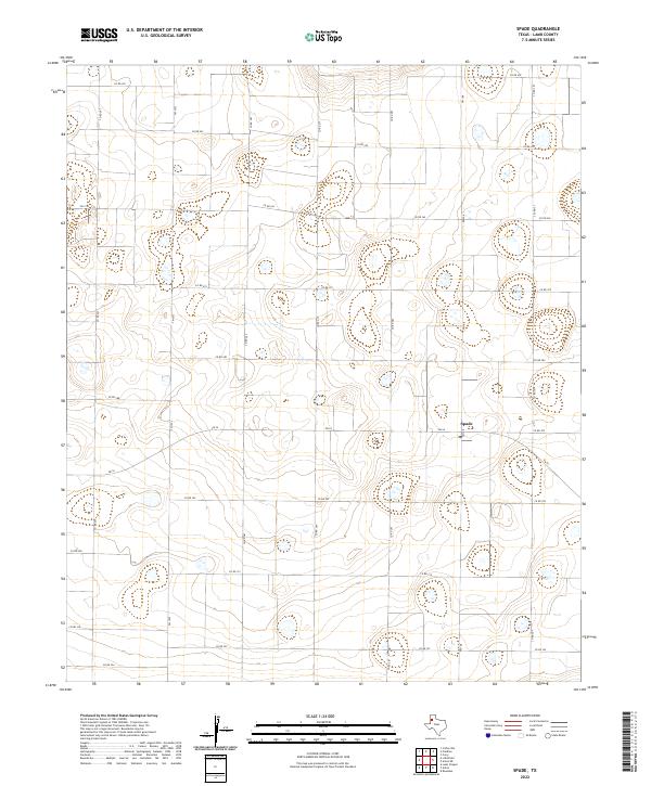
2022 Map of Spade
USGS Topo · Published 2022About this map
Spade sits at the heart of this high plains landscape in Lamb County, where the geometric precision of Texas farm-to-market roads defines the local geography. The map reveals an intensive agricultural grid centered on the intersection of FM 54 and FM 168, a layout that reflects the region's historical development around ranching and large-scale farming. Scattered across the terrain are numerous small, natural depressions and wetlands that break the regularity of the road network, which includes essential local thoroughfares like FM 1072 and FM 2197. This modern survey provides a detailed record of the rural infrastructure and land use patterns that sustain this part of the Llano Estacado, mapping the legacy of the historic Spade Ranch lands through its current roads and topographic contours.
Find a feature on this map
23 named features on this map. Tap any name to fly to it.
Don’t see what you’re looking for? This feature index may not catch every label — zoom into the map to look around manually.
Map Details
Editions of this 2022 Spade Map
This is the sole edition of this map. No revisions or reprints were ever made.
Other maps of this area

1954 · Clovis
USGS Topo · 1:250,000

1954 · Brownfield
USGS Topo · 1:250,000

1957 · Anton
USGS Topo · 1:62,500

1958 · Brownfield
USGS Topo · 1:250,000

1958 · Clovis
USGS Topo · 1:250,000

1962 · Brownfield
USGS Topo · 1:250,000

1962 · Cofferville
USGS Topo · 1:24,000

1962 · Fieldton
USGS Topo · 1:24,000

1964 · Littlefield
USGS Topo · 1:24,000

1964 · Lums Chapel
USGS Topo · 1:24,000