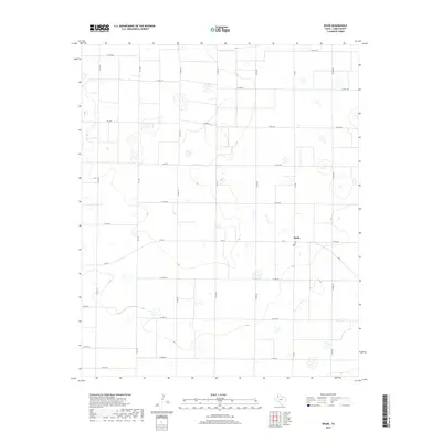
2019 Map of Spade
USGS Topo · Published 2019About this map
Spade sits at the junction of FM 54 and FM 168 in a landscape defined by its rigid section lines and agricultural grid. This survey of the Texas High Plains illustrates a highly organized rural infrastructure, where a dense network of county roads like Co RD 247 and Co RD 307 facilitate the movement of goods across the Llano Estacado. The terrain is characterized by numerous small, ephemeral depressions or playas, typical of the southern plains region, which break the otherwise rectilinear pattern of farm-to-market roads. These natural features, interspersed among the systematic road system including FM 1072 and FM 2197, provide critical drainage and distinct environmental markers in a territory largely shaped by human engineering and intensive land use.
Find a feature on this map
23 named features on this map. Tap any name to fly to it.
Don’t see what you’re looking for? This feature index may not catch every label — zoom into the map to look around manually.
Map Details
Editions of this 2019 Spade Map
This is the sole edition of this map. No revisions or reprints were ever made.
Other maps of this area

1954 · Clovis
USGS Topo · 1:250,000

1954 · Brownfield
USGS Topo · 1:250,000

1957 · Anton
USGS Topo · 1:62,500

1958 · Brownfield
USGS Topo · 1:250,000

1958 · Clovis
USGS Topo · 1:250,000

1962 · Brownfield
USGS Topo · 1:250,000

1962 · Cofferville
USGS Topo · 1:24,000

1962 · Fieldton
USGS Topo · 1:24,000

1964 · Littlefield
USGS Topo · 1:24,000

1964 · Lums Chapel
USGS Topo · 1:24,000