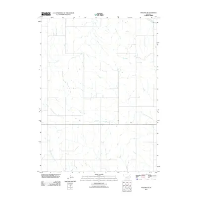
2011 Map of Spalding SE
USGS Topo · Published 2011About this map
Enfield Cemetery sits as a quiet landmark amidst the agricultural landscape of Greeley County, north of the North Branch Timber Creek. This portion of Nebraska is defined by its water systems, where the Cedar River cuts through the northeast corner while the branches of Timber Creek wind through the central and southern sections. The map reveals the grid-based rural organization typical of the Plains, with limited named infrastructure like Gwpa Ave serving the farmsteads. The lack of concentrated settlements highlights a region dedicated almost entirely to large-scale ranching and farming, where the South Branch Timber Creek provides essential drainage for the surrounding fields.
Find a feature on this map
5 named features on this map. Tap any name to fly to it.
Don’t see what you’re looking for? This feature index may not catch every label — zoom into the map to look around manually.
Map Details
Editions of this 2011 Spalding SE Map
This is the sole edition of this map. No revisions or reprints were ever made.
Other maps of this area

1899 · St. Paul
USGS Topo · 1:125,000

1954 · Cedar Rapids
USGS Topo · 1:24,000

1954 · Spalding
USGS Topo · 1:24,000

1954 · Spalding SW
USGS Topo · 1:24,000

1954 · Wolbach
USGS Topo · 1:24,000

1954 · Akron
USGS Topo · 1:24,000

1954 · Wolbach NE
USGS Topo · 1:24,000

1954 · Spalding NW
USGS Topo · 1:24,000

1954 · Belgrade NW
USGS Topo · 1:24,000

1954 · Spalding SE
USGS Topo · 1:24,000