
1954 Map of Spalding
USGS Topo · Published 1956About this map
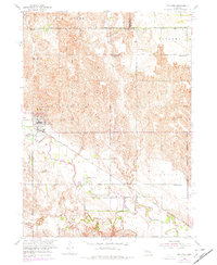
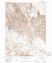
Spalding sits at the heart of this mid-century landscape where the Union Pacific railroad parallels the winding path of the Cedar River. The settlement is a hub of rural life, evidenced by local landmarks like the Landing Field, a central Water Tank, and several religious sites including Calvary Cem and St Michaels Cem. Further out, the small community of Freeman and the fertile Leo Valley characterize the agrarian character of Greeley County during the 1950s.
Find a feature on this map
30 named features on this map. Tap any name to fly to it.
Don’t see what you’re looking for? This feature index may not catch every label — zoom into the map to look around manually.
Map Details
Editions of this 1954 Spalding Map
3 editions found
Other maps of this area

1954 · Cedar Rapids
USGS Topo · 1:24,000

1954 · Spalding SW
USGS Topo · 1:24,000

1954 · Akron
USGS Topo · 1:24,000

1954 · Spalding NW
USGS Topo · 1:24,000

1954 · Spalding SE
USGS Topo · 1:24,000

1955 · Broken Bow
USGS Topo · 1:250,000

1956 · Broken Bow
USGS Topo · 1:250,000

1960 · Spalding 2 SW
USGS Topo · 1:24,000

1960 · Spalding 2 SE
USGS Topo · 1:24,000
1963 · Elgin SW
USGS Topo · 1:24,000