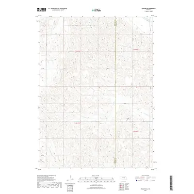
2017 Map of Spalding SE
USGS Topo · Published 2017About this map
Enfield Cem stands as a primary historical waypoint in this rural landscape along the boundary of Greeley and Boone Counties. The terrain is defined by the drainage patterns of the Cedar River in the northeast corner and the branching reaches of Timber Creek. The N Br Timber Cr and S Br Timber Cr carve through the section lines, influencing the placement of the township's grid-based road network. This 2017 survey shows a land dominated by agricultural sectioning, where routes like Wpa Rd reflect historical labor and infrastructure programs that shaped the local transportation system. The map provides a precise view of the sparsely populated ranching and farming country common to this part of Nebraska, where small cemeteries and named creek branches serve as the principal landmarks for local genealogists and land researchers.
Find a feature on this map
22 named features on this map. Tap any name to fly to it.
Don’t see what you’re looking for? This feature index may not catch every label — zoom into the map to look around manually.
Map Details
Editions of this 2017 Spalding SE Map
This is the sole edition of this map. No revisions or reprints were ever made.
Other maps of this area

1899 · St. Paul
USGS Topo · 1:125,000

1954 · Cedar Rapids
USGS Topo · 1:24,000

1954 · Spalding
USGS Topo · 1:24,000

1954 · Spalding SW
USGS Topo · 1:24,000

1954 · Wolbach
USGS Topo · 1:24,000

1954 · Akron
USGS Topo · 1:24,000

1954 · Wolbach NE
USGS Topo · 1:24,000

1954 · Spalding NW
USGS Topo · 1:24,000

1954 · Belgrade NW
USGS Topo · 1:24,000

1954 · Spalding SE
USGS Topo · 1:24,000