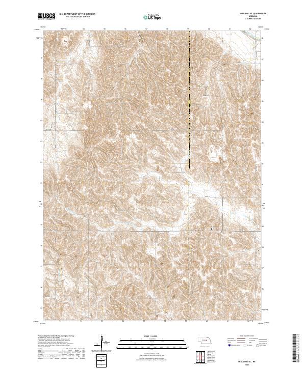
2021 Map of Spalding SE
USGS Topo · Published 2021About this map
The Greeley and Boone County line bisects this landscape of deeply carved drainage systems and upland ridges in central Nebraska. In the northern reaches, the Cedar River flows through the corner of the map, while the central and southern portions are dominated by the branching headwaters of the N Br Timber Creek and S Br Timber Creek. The terrain is marked by a distinctive grid of rural roads, including several named for early public works projects such as W P A Rd. This 2021 survey provides clear documentation of the rural cemetery Enfield Cemetery, which serves as a primary point of interest for genealogists tracing family roots in this corner of the state. The layout of section lines and gravel roads across the divide between the t19n r9w and t18n r9w townships reveals the persistent structure of agricultural land divisions in this region.
Find a feature on this map
22 named features on this map. Tap any name to fly to it.
Don’t see what you’re looking for? This feature index may not catch every label — zoom into the map to look around manually.
Map Details
Editions of this 2021 Spalding SE Map
This is the sole edition of this map. No revisions or reprints were ever made.
Other maps of this area

1899 · St. Paul
USGS Topo · 1:125,000

1954 · Cedar Rapids
USGS Topo · 1:24,000

1954 · Spalding
USGS Topo · 1:24,000

1954 · Spalding SW
USGS Topo · 1:24,000

1954 · Wolbach
USGS Topo · 1:24,000

1954 · Akron
USGS Topo · 1:24,000

1954 · Wolbach NE
USGS Topo · 1:24,000

1954 · Spalding NW
USGS Topo · 1:24,000

1954 · Belgrade NW
USGS Topo · 1:24,000

1954 · Spalding SE
USGS Topo · 1:24,000