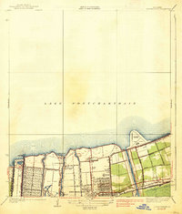
1938 Map of Spanish Fort
USGS Topo · Published 1938About this map
Old Spanish Fort and the lakeside village of Milneburg stand along the southern shore of Lake Pontchartrain in this pre-war survey of northern New Orleans. The map documents a period of significant coastal transformation, featuring the prominent footprint of Shushan Airport and the recreational development at Pontchartrain Beach. The city's drainage and navigation infrastructure is clearly defined, from the Outfall Canal near the Jefferson Parish line to the massive Inner Harbor Navigation Canal. Cultural and institutional sites like the Milne Home for Boys and Gaudet Sch are situated within the grid of growing neighborhoods. The historical significance of the area is highlighted by Spanish Fort and Bayou St John, while the Southern railroad and numerous canals like the St Charles Canal illustrate the vital transport network of 1930s Louisiana.
Find a feature on this map
34 named features on this map. Tap any name to fly to it.
Don’t see what you’re looking for? This feature index may not catch every label — zoom into the map to look around manually.
Map Details
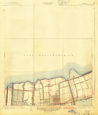
Editions of this 1938 Spanish Fort Map
2 editions found
Other maps of this area

1891 · Spanish Fort
USGS Topo · 1:62,500

1891 · New Orleans
USGS Topo · 1:62,500

1892 · Chef Menteur
USGS Topo · 1:62,500

1892 · St. Bernard
USGS Topo · 1:62,500

1932 · New Orleans NE
USGS Topo · 1:31,680

1932 · New Orleans NW
USGS Topo · 1:31,680

1936 · South Point
USGS Topo · 1:31,680

1936 · Chef Menteur
USGS Topo · 1:62,500

1936 · Spanish Fort
USGS Topo · 1:62,500

1938 · Little Woods
USGS Topo · 1:31,680