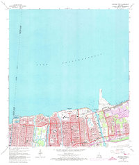
1965 Map of Spanish Fort
USGS Topo · Published 1973About this map
Spanish Fort Ruins stand as a historical anchor along the southern shore of Lake Pontchartrain in this mid-1960s study of New Orleans. The map documents an era of significant institutional and educational expansion, featuring the Southern University (New Orleans Branch) and Louisiana State Univ (New Orleans Branch) alongside numerous parochial schools like St Joseph Academy. The shoreline is dominated by mid-century recreational and military footprints, from the amusements at Pontchartrain Beach to the sprawling Camp Leroy Johnson. Inland, the residential grids of Gentilly Terrace and Spanish Fort are densely packed with civic infrastructure, including the New Orleans Theological Seminary and a cluster of burial grounds such as Hebrew Rest Cem. The heavy industrial and transport role of the lakefront is evident in the New Orleans Lakefront Airport and the massive Inner Harbor Navigation Canal.
Find a feature on this map
130 named features on this map. Tap any name to fly to it.
Don’t see what you’re looking for? This feature index may not catch every label — zoom into the map to look around manually.
Map Details
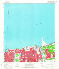
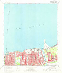
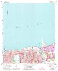
Editions of this 1965 Spanish Fort Map
4 editions found
Other maps of this area

1891 · Spanish Fort
USGS Topo · 1:62,500

1891 · New Orleans
USGS Topo · 1:62,500

1892 · Chef Menteur
USGS Topo · 1:62,500

1892 · St. Bernard
USGS Topo · 1:62,500

1932 · New Orleans NE
USGS Topo · 1:31,680

1932 · New Orleans NW
USGS Topo · 1:31,680

1936 · South Point
USGS Topo · 1:31,680

1936 · Chef Menteur
USGS Topo · 1:62,500

1936 · Spanish Fort
USGS Topo · 1:62,500

1938 · Little Woods
USGS Topo · 1:31,680