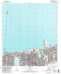
1992 Map of Spanish Fort
USGS Topo · Published 1992About this map
Lake Pontchartrain defines the northern edge of this New Orleans landscape, where the historic Spanish Fort area meets the city's modern infrastructure. The map reveals a densely organized urban grid interspersed with significant institutional and recreational grounds, including the expansive City Park and the academic campuses of the University of New Orleans and Southern University (New Orleans Branch). The shoreline transition is marked by developed facilities like the Muni Yacht Harbor and the expansive New Orleans Lakefront Airport jutting into the lake.
Find a feature on this map
50 named features on this map. Tap any name to fly to it.
Don’t see what you’re looking for? This feature index may not catch every label — zoom into the map to look around manually.
Map Details
Editions of this 1992 Spanish Fort Map
2 editions found
Other maps of this area

1891 · Spanish Fort
USGS Topo · 1:62,500

1891 · New Orleans
USGS Topo · 1:62,500

1892 · Chef Menteur
USGS Topo · 1:62,500

1892 · St. Bernard
USGS Topo · 1:62,500

1932 · New Orleans NE
USGS Topo · 1:31,680

1932 · New Orleans NW
USGS Topo · 1:31,680

1936 · South Point
USGS Topo · 1:31,680

1936 · Chef Menteur
USGS Topo · 1:62,500

1936 · Spanish Fort
USGS Topo · 1:62,500

1938 · Little Woods
USGS Topo · 1:31,680