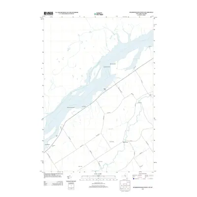
2013 Map of Sparrowhawk Point
USGS Topo · Published 2013About this map
The St. Lawrence River dominates this landscape along the international border, where modern agriculture and historical burial sites line the riverbanks. The American side of the channel features distinct points of land and recreation areas such as Sparrowhawk Point and Lisbon Beach, while the surrounding terrain is defined by an active farming community. Family and local legacies are preserved in several documented burial grounds, including Union Cem, Martin Cem, and the Livingston Cem near the riverfront.
Find a feature on this map
37 named features on this map. Tap any name to fly to it.
Don’t see what you’re looking for? This feature index may not catch every label — zoom into the map to look around manually.
Map Details
Editions of this 2013 Sparrowhawk Point Map
This is the sole edition of this map. No revisions or reprints were ever made.
Other maps of this area

1904 · Lisbon
USGS Topo · 1:48,000

1904 · Ogdensburg
USGS Topo · 1:62,500

1905 · Waddington
USGS Topo · 1:62,500

1905 · Ogdensburg
USGS Topo · 1:62,500

1906 · Red Mills
USGS Topo · 1:62,500

1910 · Canton
USGS Topo · 1:62,500

1911 · Canton
USGS Topo · 1:62,500

1942 · Waddington
USGS Topo · 1:24,000

1942 · Murphy Island
USGS Topo · 1:24,000

1943 · Ogdensburg East
USGS Topo · 1:31,680