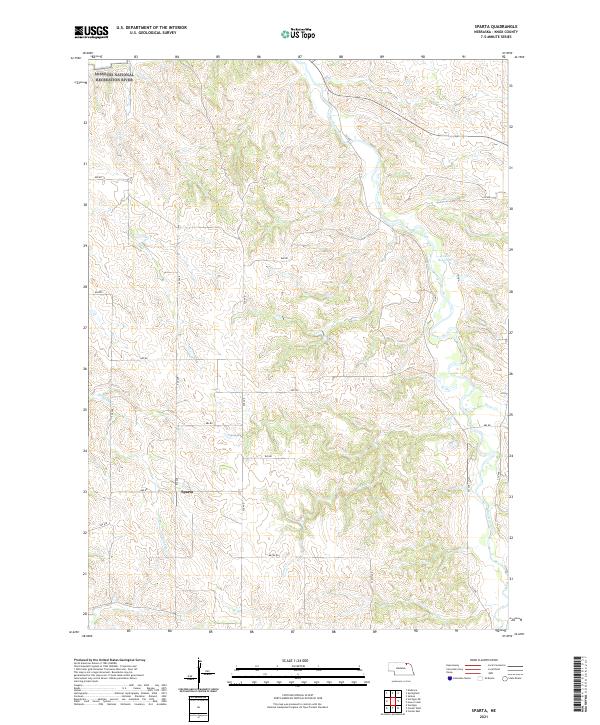
2021 Map of Sparta
USGS Topo · Published 2021About this map
Sparta serves as a central point in this 2021 survey of Knox County, Nebraska, where the landscape is defined by the drainage basins of the Missouri River. The northern boundary features the Missouri National Recreation River, highlighting a stretch of water preserved in its more natural state. Inland, the terrain is etched by the meandering courses of Bazile Creek and its tributaries, including Burgess Cr and Bingham Cr. The rural infrastructure is meticulously documented through a grid of section roads like 889 RD and 527 Ave. Water resources are further marked by Vakoc Reservoir and several streams such as Sand Cr and Howe Cr. This map illustrates the intersection of federal conservation land and the enduring agricultural settlement patterns characteristic of the Nebraska plains.
Find a feature on this map
26 named features on this map. Tap any name to fly to it.
Don’t see what you’re looking for? This feature index may not catch every label — zoom into the map to look around manually.
Map Details
Editions of this 2021 Sparta Map
This is the sole edition of this map. No revisions or reprints were ever made.
Other maps of this area

1950 · Niobrara
USGS Topo · 1:24,000

1950 · Verdigre NE
USGS Topo · 1:24,000

1954 · Verdigre
USGS Topo · 1:24,000

1955 · Sioux City
USGS Topo · 1:250,000

1955 · O'Neill
USGS Topo · 1:250,000

1958 · Sioux City
USGS Topo · 1:250,000

1959 · O'Neill
USGS Topo · 1:250,000

1959 · Sioux City
USGS Topo · 1:250,000

1969 · O'Neill
USGS Topo · 1:250,000

1974 · Sparta
USGS Topo · 1:24,000