
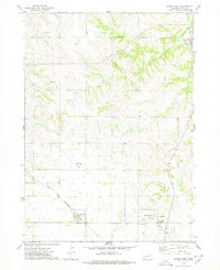
1974 Map of Sparta
USGS Topo · Published 1978About this map
The Santee Indian Reservation Boundary bisects this landscape, marking a significant cultural and administrative division in northeast Nebraska. To the west, the settlement of Sparta sits near the headwaters of Spring and Bingham Creek, while the eastern terrain is defined by the winding course of Bazile Creek. This waterway serves as a central artery for the region, joined by tributaries such as Howe Creek and Sand Creek.
Find a feature on this map
13 named features on this map. Tap any name to fly to it.
Don’t see what you’re looking for? This feature index may not catch every label — zoom into the map to look around manually.
Map Details
Editions of this 1974 Sparta Map
This is the sole edition of this map. No revisions or reprints were ever made.
Other maps of this area

1950 · Niobrara
USGS Topo · 1:24,000

1950 · Verdigre NE
USGS Topo · 1:24,000

1954 · Verdigre
USGS Topo · 1:24,000

1955 · Sioux City
USGS Topo · 1:250,000

1955 · O'Neill
USGS Topo · 1:250,000

1958 · Sioux City
USGS Topo · 1:250,000

1959 · O'Neill
USGS Topo · 1:250,000

1959 · Sioux City
USGS Topo · 1:250,000

1969 · O'Neill
USGS Topo · 1:250,000
1974 · Center West
USGS Topo · 1:24,000