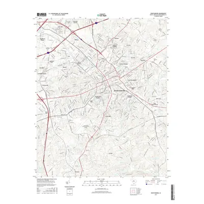
2017 Map of Spartanburg
USGS Topo · Published 2017About this map
Spartanburg serves as the focal point of this 2017 survey, revealing a landscape where dense urban residential districts give way to specialized industrial and educational pockets. The city is a significant hub for higher education, containing the campuses of Wofford Coll, Converse Coll, and Spartanburg Methodist Coll. Peripheral neighborhoods like Whitney Heights, Saxon, and Arkwright maintain distinct identities, often clustered near water features such as Lawson Fork Creek or the sprawling Fairforest Creek system. For genealogists, the map identifies numerous burial grounds including the Younger Family Cem, Seay Cem, and Oakwood Cem. Transportation remains a defining characteristic of the region, anchored by the Spartanburg Downtown Memorial Airport and the rail corridors servicing Hayne Station and Southern Shops.
Find a feature on this map
272 named features on this map. Tap any name to fly to it.
Don’t see what you’re looking for? This feature index may not catch every label — zoom into the map to look around manually.
Map Details
Editions of this 2017 Spartanburg Map
This is the sole edition of this map. No revisions or reprints were ever made.
Other maps of this area

1907 · Saluda
USGS Topo · 1:125,000

1935 · Greer
USGS Topo · 1:48,000

1938 · Greer
USGS Topo · 1:62,500

1941 · Spartanburg
USGS Topo · 1:250,000

1947 · Spartanburg
USGS Topo · 1:62,500

1949 · Spartanburg
USGS Topo · 1:24,000

1949 · Spartanburg
USGS Topo · 1:62,500

1953 · Spartanburg
USGS Topo · 1:250,000

1953 · Charlotte
USGS Topo · 1:250,000

1954 · Charlotte
USGS Topo · 1:250,000