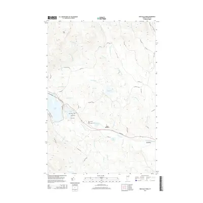
2015 Map of Spectacle Pond
USGS Topo · Published 2015About this map
Nulhegan River and its various forks define the drainage patterns across this Essex County landscape, carving through the terrain near East Brighton and Wenlock. The map illustrates a concentration of water bodies centered around Spectacle Pond, with prominent landmarks like Eagle Point and Loon Point marking its shores. To the west, the edge of Island Pond is visible, served by Lakeshore Dr and Jeffery Lane Rd.
Find a feature on this map
47 named features on this map. Tap any name to fly to it.
Don’t see what you’re looking for? This feature index may not catch every label — zoom into the map to look around manually.
Map Details
Editions of this 2015 Spectacle Pond Map
This is the sole edition of this map. No revisions or reprints were ever made.
Other maps of this area

1920 · Guildhall
USGS Topo · 1:62,500

1924 · Island Pond
USGS Topo · 1:48,000

1926 · Island Pond
USGS Topo · 1:62,500

1929 · Averill
USGS Topo · 1:62,500

1931 · Guildhall
USGS Topo · 1:48,000

1933 · Guildhall
USGS Topo · 1:48,000

1937 · Guildhall
USGS Topo · 1:62,500

1950 · Lewiston
USGS Topo · 1:250,000

1951 · Burke
USGS Topo · 1:62,500

1953 · Island Pond
USGS Topo · 1:62,500